
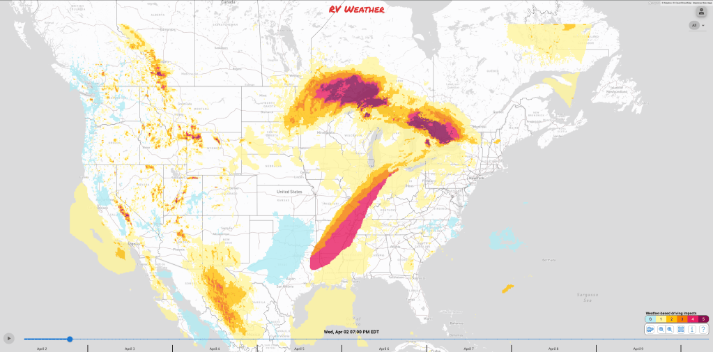
- SIGNIFICANT SEVERE WEATHER and strong tornado outbreak expected for much of the central and southern Missisippi River Valley this afternoon/evening and into the overnight hours. Strong tornadoes are expected with intense wind gusts and large hail.
- Scattered severe weather with high winds, hail, and possible tornadoes expected to continue from TX through PA on Thursday.
- Increasing likelihood of a dangerous flooding event across the mid-Mississippi and Ohio Valleys starting late Wednesday and continuing into the weekend.
From the RV Weather Field Office in State College PA:
These are the most significant weather impacts to RV travel over the next two to three days. I do not list every area of rain, showers, or breezy winds. It would be exhausting (for both of us!).
Looking for real-time road conditions? Here’s a link, courtesy of the Federal Highway Administration, to all the individual State 511 websites.
Weather Impacts Pacific Time Zone:
— Portions of southern CA: Wind Advisories through this evening. Wind gusts 35-60. Lowest winds near the coast and west of the coastal ranges; highest winds across the Indian Wells Valley and Mojave Desert. I-5, I-10, US-101, CA-1, CA-14, CA-58 impacted.
Weather Impacts Mountain Time Zone:
— Portions of central, southwest and south-central MT; western WY and adjacent southeast ID; much of north-central and central UT: Winter Storm Warnings and Advisories continue this evening. Additional accumulations generally 1-3 inches in the valleys and at lower elevations and 2-6 inches across the higher passes. Some favored mountain locations could see up to 8 inches additional. I-15, I-70, I-80, I-90, US-6, US-12, US-14, US-16, US-20, US-26, US-30, US-40, Us-87, US-89, US-191, US-287 impacted.
— Southeast MT and north-central and central WY Big Horn Range: Winter Weather Advisories through early this afternoon. 1-5 inches of snow and wind gusts to 40 mph. I-90, US-14 impacted.
— Northeast WY and west-central SD Black Hills: Winter Weather Advisory through midday today. 1-3 inches of additional snow. I-90, US-18, US-85 impacted.
— East-central and southwest WY; northeast CO; central CO west of I-25: Strong winds expected this afternoon. Wind gusts generally 30-40 mph. I-25, I-70, I-76, I-80, US-18, US-24, US-34, US-40, US-50, US-85 impacted.
— Southern NM: Blowing Dust Advisories and Fire Weather Warnings through early tonight. Expect visibility reduced to a low as 1/4 mile. The Weather Service will issue DUST STORM WARNINGS as required later today where visibility drops to near zero. Here are some tips for managing travel in high winds and dust. I-10, I-25 impacted.
Weather Impacts Central Time Zone:
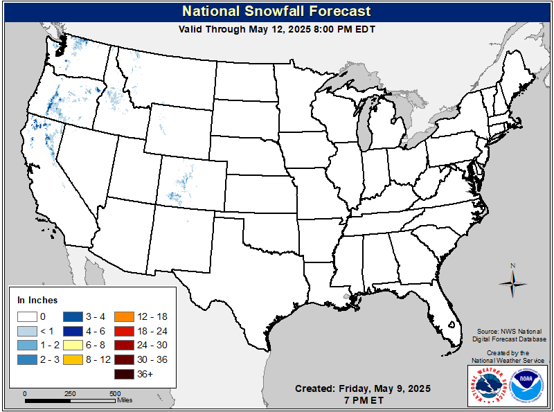
— Much of central and eastern ND; northeast SD; central and northern MN; northern WI: Winter Storm Warnings and Advisories this afternoon through late this evening. Snow, sleet and freezing rain. Snow accumulations as high as 5-11 inches and up to 1/10th of an inch of ice. Wind gusts to 40 mph. I-35, I-39, I-94, US-2, US-8, US-45, US-51, US-52, US-53, US-71 impacted.
— Southeast ND; SD; NE; IA; IL; MO; eastern AR; western and central KY and TN; LA; MS; eastern and southern AL: Wind Advisory in effect. Widespread strong winds this afternoon and evening. Wind gusts 35-45 mph. Major highways impacted include I-10, I-12, I-20, I-22, I-24, I-30, I-35, I-39, I-40, I-44, I-55, I-57, I-59, I-64, I-65, I-70, I-72, I-74, I-80, I-88, I-90, I-94.
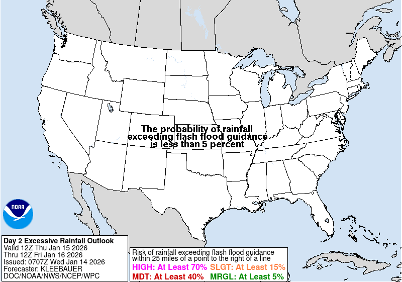
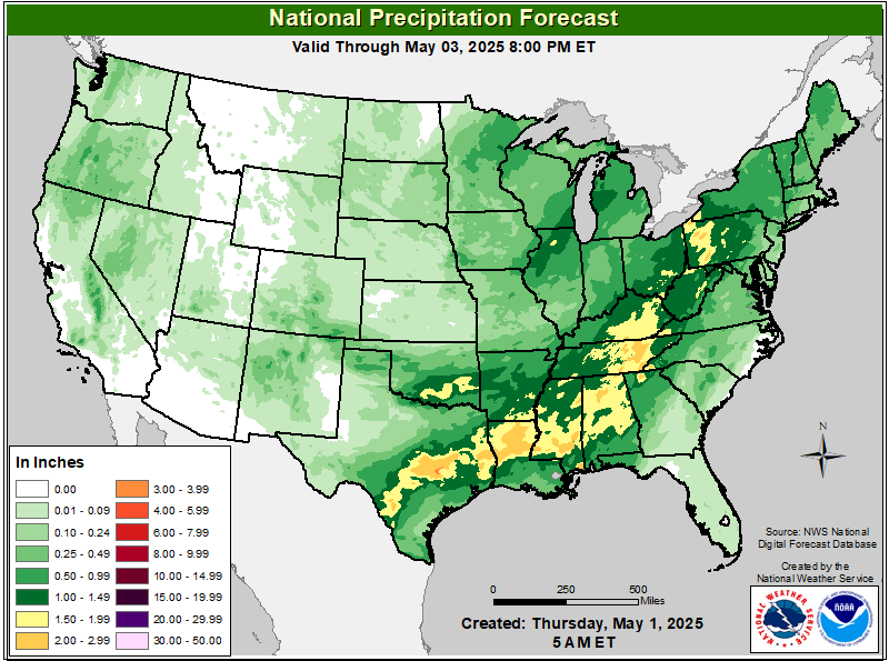
— AR; northern MS; western TN; western and central KY; southern and southeast IL: Flood Watches this afternoon through Sunday morning. Up to a FOOT OF RAIN is possible with some spots reaching 15 inches of rainfall, which will lead to significant Flash flooding and river flooding. I-22, I-24, I-30, I-40, I-55, I-57, I-64, I-65, I-69, I-70 potentially impacted.
— AR; southeastern MO; southern IL; western KY; western TN; northwestern MS: A significant tornado outbreak will be expected this afternoon/evening and into the overnight hours. Signifcantly strong tornadoes are expected on top of the damaging wind and large hail threat. I-24, I-40, I-55, I-57, I-64, I-65 impacted.
— Northeast TX; southeast and eastern OK; northern LA; AR; southwest, central and eastern MO; eastern IA; southern WI; IL; most of KY; western and central TN; northwest MS: Widespread severe thunderstorms are expected this afternoon and into the night. Severe wind gusts, very large hail, and a few strong tornadoes are possible. I-20, I-22, I-24, I-30, I-35, I-39, I-40, I-41, I-44, I-45, I-49, I-55, I-75, I-69, I-64, I-70, I-72, I-74, I-80, I-88, I-90 potentially impacted.
— Central and northern TX; southeast OK; northern LA; AR; southeast MO; northwest MS; southern IL; KY and much of TN: A broad area of strong to severe storms is expected to form Thursday along a frontal zone. Damaging gusts and hail are the primary hazards, though a few tornadoes are possible. I-20, I-22, I-24, I-30, I-35, I-40, I-49, I-55,I-57, 64, I-65, I-69 potentially impacted.
— Southeast TX; southwest and south-central LA: Wind Advisory today. Gusts to 40 mph. I-10, I-49 impacted.
— Far western TX: Blowing Dust Advisories through late this evening. Expect visibility reduced to a low as 1/4 mile. The Weather Service will issue DUST STORM WARNINGS as required later today where visibility drops to near zero. Here are some tips for managing travel in high winds and dust. I-10, US-62, US-67 impacted.
Weather Impacts Eastern Time Zone:
— South-central MI Upper Peninsula: Winter Weather Advisory through this afternoon. Snow, sleet and freezing rain. Snow accumulations 2-6 inches and a light glaze of ice. Wind gusts to 35 mph. US-2, US-41 impacted.
— Interior VT, NH, ME: Winter Weather Advisory. Sleet and freezing rain Wednesday night into Thursday morning. Up to 1/4 inch of ice is possible with 2 to 4 inches of snow expected. I-89, I-91, I-93, I-95 impacted.
— Northern NY downstream of Lake Ontario and southern NY downstream of Lake Erie: High winds possible on Thursday. Wind Advisory in effect. Wind gusts up to 50 mph will be possible, higher on hill tops. I-81, I-86, I-87, I-90 potentially impacted.
— Southern and central MI; IN; OH; north-central KY: Numerous severe thunderstorms are expected this afternoon and into the night. Severe wind gusts, very large hail, and strong tornadoes are possible. I-24, I-40, I-64, I-65, I-69, I-70, I-71, I-74, I-75, I-76, I-77, I-80, I-90, I-94, I-96, OH Turnpike, IN Toll Road potentially impacted.
— Central and southern IN; west-central and southern OH and adjacent WV; much of KY: Flood Watches this afternoon through Sunday morning. 4-12 inches of rain may fall across this region by Sunday which would lead to significant Flash flooding and river flooding. I-24, I-64, I-65, I-69, I-70, I-71, I-74, I-75, I-77 likely impacted.
— Southern IN; central and southern OH; much of WV; southern PA; western and central MD; northern VA; KY; northeast TN: A broad area of strong to severe storms is expected to form Thursday along a frontal zone. Damaging gusts and hail are the primary hazards, though a few tornadoes are possible. I-64, I-65, I-68, I-69, I-70, I-71, I-74, I-75, I-77, I-76, I-78, I-79, I-81, I-99 potentially impacted.
— Much of southern GA; much of the FL Panhandle: Dense Fog Advisory this morning. I-10, I-16, I-75 impacted.
Graphics for Today

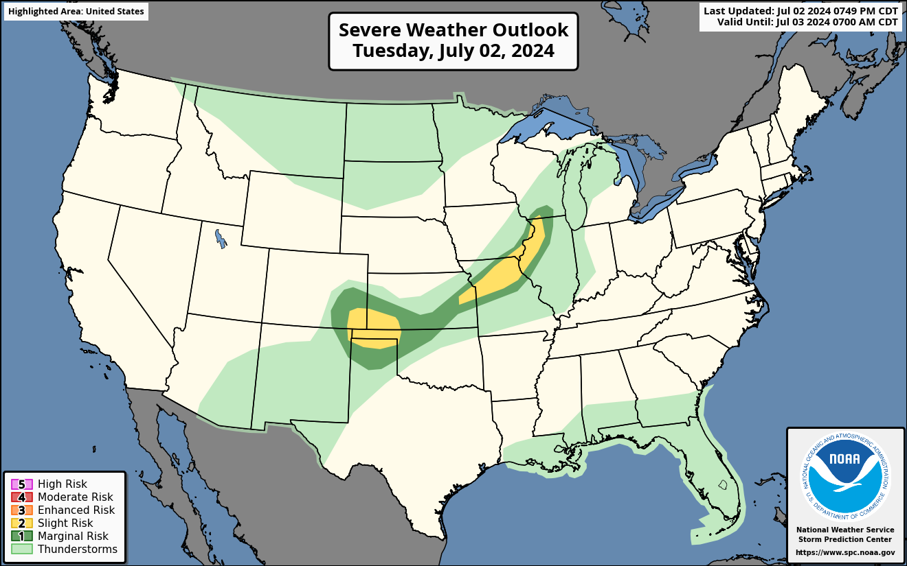
Current Severe Thunderstorm and Tornado Watches from the National Weather Service Storm Prediction Center



Graphics for Tomorrow

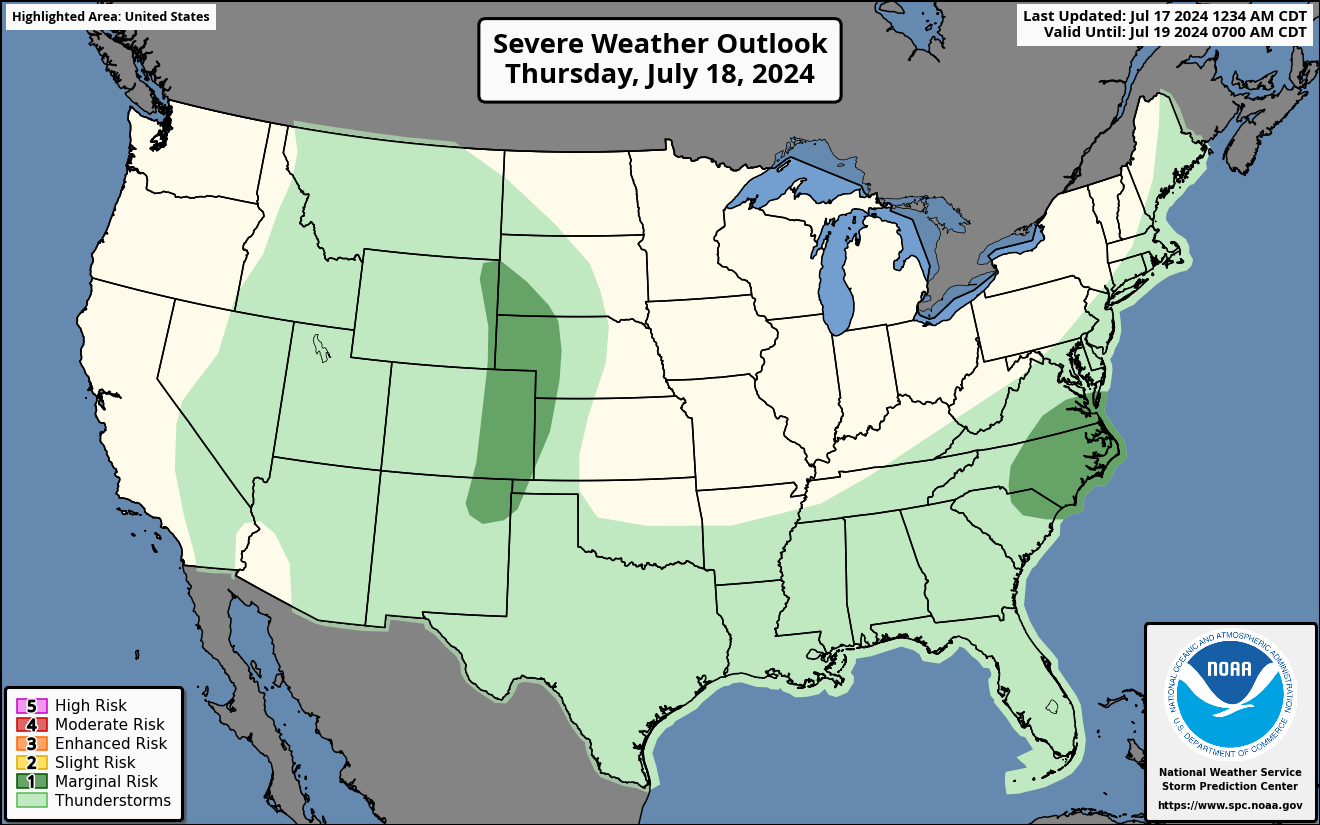

Three-day Summaries
Access to real-time road information:
Phone numbers and websites for road conditions in all 50 states. Courtesy of the Cheyenne WY Weather Forecast Office
Some useful links:
Thank you for using RVWeather.