
- Scattered to numerous severe thunderstorms with high winds, hail, and possible tornadoes expected to continue from TX through PA on this morning through the evening.
- Dangerous flooding event across the mid-Mississippi and Ohio Valleys starting now through the weekend. TURN AROUND, DON’T DROWN.
- Periods of severe weather are expected through Sunday across much of the Mississippi River Valley and south-central US.
From the RV Weather Field Office in State College PA:
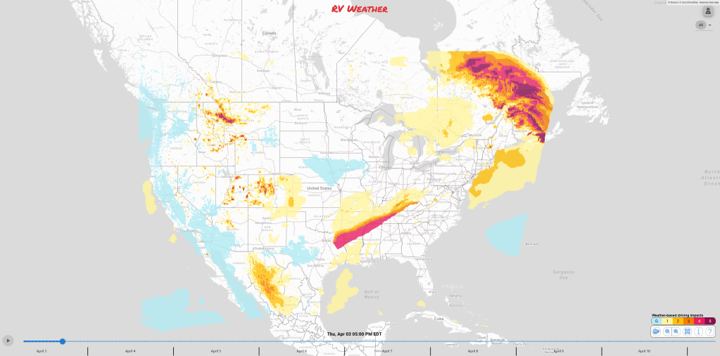
These are the most significant weather impacts to RV travel over the next two to three days. I do not list every area of rain, showers, or breezy winds. It would be exhausting (for both of us!).
Looking for real-time road conditions? Here’s a link, courtesy of the Federal Highway Administration, to all the individual State 511 websites.
Weather Impacts Pacific Time Zone:
— Northwestern OR Valley: Frost Advisory tonight. Temperatures as low as 33 degrees.
— Portions of western CA, primarily in higher elevations: Frost and Freeze alerts this morning. Temperatures as low as 32 degrees.
Weather Impacts Mountain Time Zone:
— Northwest and north-central MT: Winter Weather Advisory until Thursday evening. Total snow accumulations of 3 to 8 inches with wind gusts as high as 35 mph. I-15, US-2, US-89, US-93 impacted.
— Southeast MT and north-central and central WY Big Horn Range: Winter storm Warnings and Winter Weather Advisories through early this afternoon. 1-5 inches of snow and wind gusts to 40 mph. I-90, US-14 impacted.
— Western SD; northwestern NE; eastern CO; eastern WY: Gusty winds expected Friday afternoon. Wind gusts 40 to 45 mph. I-25, I-70, I-76, I-80, I-90 potentially impacted.
— Southern UT mountains; southeastern UT; southwestern CO San Juan mountains: Winter Weather Advisory until Thursday night. 4 to 10 inches of snow expected, generally above 7500 feet. I-15, I-70, US-89, US-191 impacted.
— South-central CO mountains; much of northeastern and eastern NM: Winter Storm Watch Friday night through Saturday. Snowfall accumulations up to 8 inches below 7500 feet. Wind gusts to 50 mph. Difficult travel conditions are expected. I-25, I-40, US-64, US-84 impacted.
Weather Impacts Central Time Zone:
— Central and eastern ND; central and eastern SD; central NE: A heavier burst of snow will be possible late Thursday evening with gusty winds up to 40 mph. I-29, I-80, I-90, I-94 potentially impacted.
— Northern TX: Severe Thunderstorm Watch in effect until 8am. Severe thunderstorms will be possible of all hazards this morning. Damaging winds, large hail, and isolated tornadoes. I-20, I-30, I-35, I-45, US-67, US-75 impacted.
— Eastern OK; AR; southeastern MO; northern MS; western TN; western and central KY; southern and southeast IL: Flood Watches through Sunday morning. Up to a FOOT OF RAIN is possible with some spots reaching 15 inches of rainfall, which will lead to significant Flash flooding and river flooding. I-22, I-24, I-30, I-40, I-55, I-57, I-64, I-65, I-69, I-70 potentially impacted.
— AR; far southeastern MO; far northwestern MS; western TN; far southern IL; far southern IN; much of western and central KY: Widespread flash flooding is expected today with heavy, training thunderstorms. Some areas within this zone may see up to 7 inches or more of rain today. Heavy rainfall rates will increase flash flood risk. Turn around, don’t drown. I-24, I-30, I-40, I-55, I-57, I-64, I-65 impacted.
— Central and northern TX; southeast OK; northern LA; AR; southeast MO; northwest MS; southern IL; KY and much of TN: A broad area of strong to severe storms is expected to form Thursday along a frontal zone. The greatest zone of severe weather will be situated from northeastern TX, AR, northwestern MS and western TN. Damaging gusts and hail are the primary hazards, though a few tornadoes are possible. I-20, I-22, I-24, I-30, I-35, I-40, I-49, I-55,I-57, 64, I-65, I-69 potentially impacted.
— Central and northern TX; southeastern OK; northwestern LA; AR; southern MO; southern and central IL; western KY; western TN: Scattered to numerous severe thunderstorms is expected Friday afternoon and evening. Damaging wind gusts and hail will be the primary hazards, though a few tornadoes will be possible. A few tornadoes may be strong. I-20, I-24, I-35, I-40, I-55, I-57, I-64, I-70 potentially impacted.
— Central TN: Tornado Watch in effect until 8am. Severe thunderstorms will be possible of all hazards this morning, with an increased tornado danger risk. Damaging winds and large hail will be expected as well. I-24, I-40, I-65 impacted.
— Southeast TX; southwest and south-central LA: Gusty winds are expected this afternoon and Friday afternoon. Gusts to 40 mph. I-10, I-45, I-49 impacted.
Weather Impacts Eastern Time Zone:
—Northern MI lower peninsula; far southeastern MI upper peninsula: Wind Advisory in effect through this evening. Wind gusts up to 50 mph. I-75, US-2, US-23 impacted.
— Northern NY; interior VT, NH, ME: Winter Weather Advisory. Sleet and freezing rain through early this afternoon. Up to 1/4 inch of ice is possible with 1 to 2 inches of snow expected. I-87, I-89, I-91, I-93, I-95 impacted.
— Northern NY: High winds today. Wind Advisory in effect. Wind gusts up to 50 mph will be possible, higher on hill tops. I-81, I-87, US-11 potentially impacted.
— Central and southern IN; west-central and southern OH and adjacent WV; much of KY: Flood Watches through Sunday morning. 4-12 inches of rain may fall across this region by Sunday which would lead to significant Flash flooding and river flooding. I-24, I-64, I-65, I-69, I-70, I-71, I-74, I-75, I-77 likely impacted.
— IN; OH; central and eastern KY; WV; western PA: Heavy rain may lead to areas of flash flooding today. The greatest risk is across southern IN and through much of KY. Heavy rainfall rates will increase the flash flood risk. Turn around, don’t drown. I-64, I-65, I-70, I-71, I-74, I-75, I-77, I-79 potentially impacted.
— Southern IN; central and southern OH; much of WV; southern PA; western and central MD; northern VA; KY; northeast TN: A broad area of strong to severe storms is expected to form this afternoon along a frontal zone. Damaging gusts and hail are the primary hazards, though a few tornadoes are possible. I-64, I-65, I-68, I-69, I-70, I-71, I-74, I-75, I-77, I-76, I-78, I-79, I-81, I-99 potentially impacted.
— IN; western and central OH; northern KY: Strong thunderstorms will be possible Friday afternoon and evening. The greatest concern is damaging winds and hail. I-64, I-69, I-70, I-71, I-74, I-75 impacted.
— Far eastern TN mountains: High Wind Warnings and Wind Advisories until late this morning. Wind gusts to 70 mph. I-26, I-40, US-25 impacted.
Graphics for Today

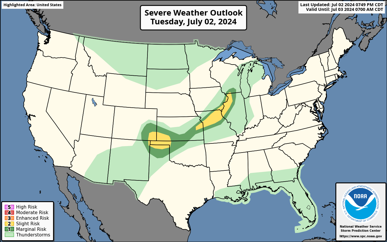
Current Severe Thunderstorm and Tornado Watches from the National Weather Service Storm Prediction Center


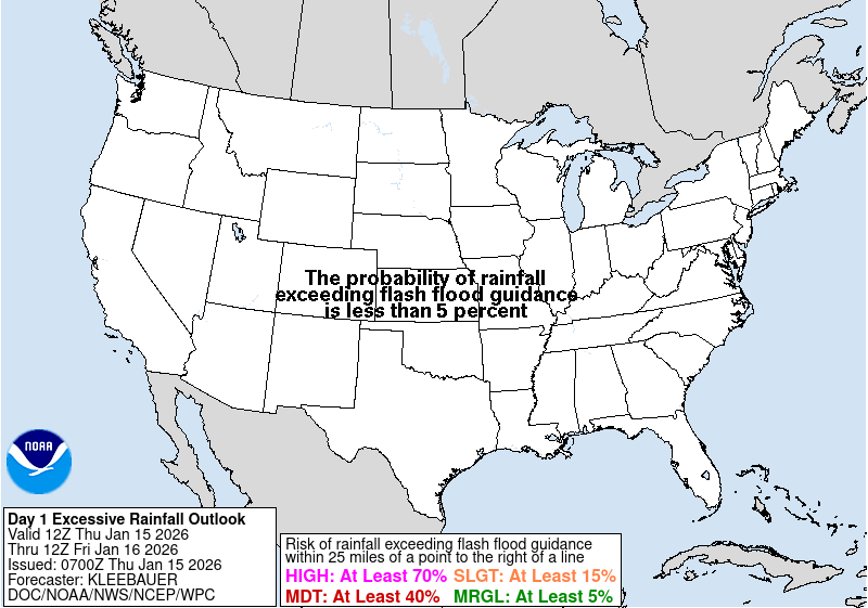

Graphics for Tomorrow

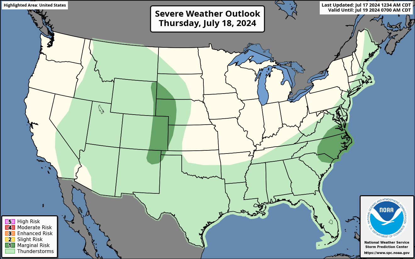
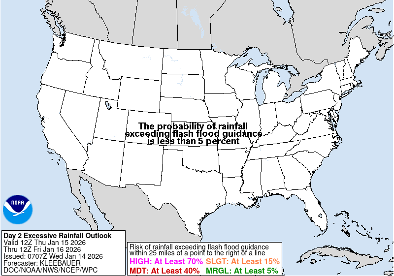

Three-day Summaries
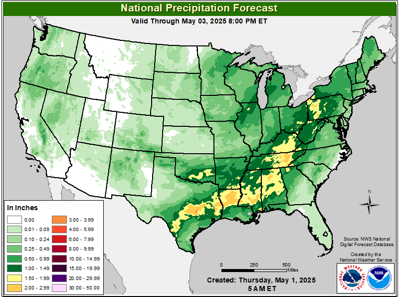
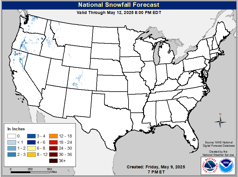
Access to real-time road information:
Phone numbers and websites for road conditions in all 50 states. Courtesy of the Cheyenne WY Weather Forecast Office
Some useful links:
Thank you for using RVWeather.