
- Arctic air plunges across the Rockies and Great Plains, crossing the Deep South and Great Lakes and the Eastern Seaboard by later tonight bringing dangerously cold wind chill temperatures.
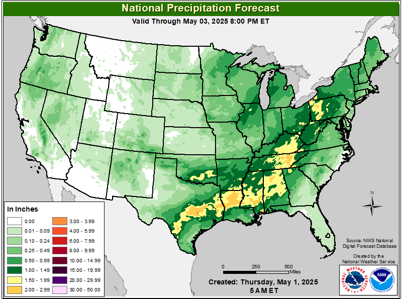
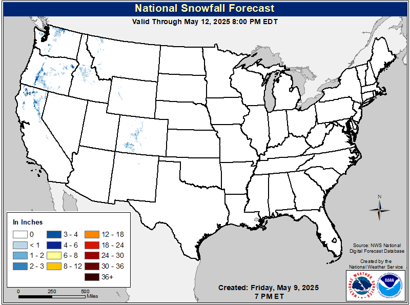
- Winter storm to bring accumulating snowfall to portions of the Ohio Valley, northern Mid-Atlantic and Northeast this afternoon through Monday morning. Areas of significant snowfall are expected.
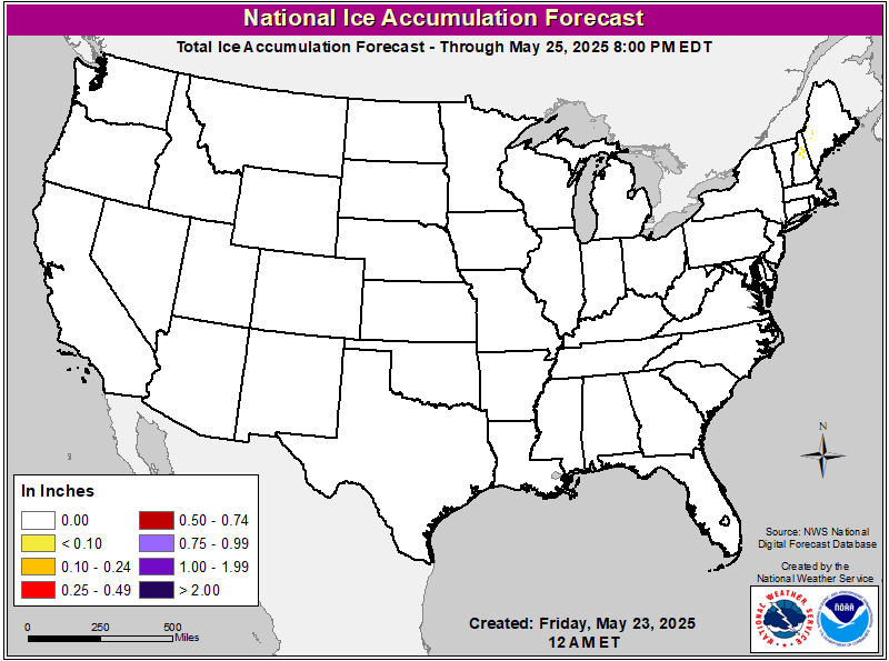
- A significant winter storm is to impact the I-10/I-20 corridor early this week from Texas through Georgia bringing accumulating snow and ice.
From the RV Weather Field Office in State College PA:
These are the most significant weather impacts to RV travel over the next two to three days. I do not list every area of rain, showers, or breezy winds. It would be exhausting (for both of us!).
Looking for real-time road conditions? Here’s a link, courtesy of the Federal Highway Administration, to all the individual State 511 websites.
Weather Impacts Pacific Time Zone:
— Southwestern OR; northwestern WA: Cold Weather Advisory in effect from Sunday evening through Monday morning. Wind chill values as low as 20 deg F and down to 10 deg F in the Upper Hood River Valley.
— Northwest CA Lake County: Wind Advisory for effect on Monday. Gusty winds up to 50 mph possible. CA-20, CA-29, CA-53 impacted.
— Southwestern CA: Red Flag Warnings in effect for Monday through Tuesday. High wind gusts up to 60 mph and very dry conditions may allow for rapid fire spread. I-5, I-8, I-10, I-15 impacted.
— Southwestern CA Venture County Mountains: High Wind Watch in effect Monday evening through Tuesday morning. Wind gusts up to 65 mph with up to 80 mph in the higher elevations. I-5, I-10, US-101 impacted.
— Southern NV and western AZ/eastern CA along Colorado River Valley. Wind Advisory in effect for Monday through Tuesday. Wind gusts up to 45 mph are expected. I-40, US-93 impacted.
Weather Impacts Mountain Time Zone:
— Eastern ID; much of MT; WY; CO; NM: Cold Weather Advisories and Extreme Cold Warnings in effect until Monday through Tuesday mornings. Wind chill values as cold as 25 to 35 deg F below zero. 35 to 40 deg F below normal across higher elevations of MT and ID.
— Western MT: Winter Weather Advisory in effect until 2pm Sunday. Snow accumulations of 1 to 3 inches is expected. I-15, I-90, US-2, US-12 impacted.
— South-central WY: High Wind Watch in effect Monday evening through Wednesday. Wind gusts up to 65 mph possible. I-80 impacted.
Weather Impacts Central Time Zone:
–ND; MN; SD; NE; IA; WI; western MI panhandle; northern and eastern IL: Extreme Cold Warnings and Advisories in effect from Saturday to Tuesday. Wind chill values as low as 30 deg F with up to 55 deg F below zero across far northern states.
— Southern ND; western and central SD; northern NE: Watching for gusty winds Monday afternoon. Wind gusts 35 – 40 mph. I-90, US-12, US-14, US-16, US-20, US-83 potentially impacted.
— Southwestern KS: Winter Weather Advisory in effect Monday. Snowfall accumulations up to 2 inches expected. US-50, US-56, US-83 impacted.
— Much of central and southern TX; southern AR; LA; MS; western and central TN; AL: Extreme Cold Watches and Advisories in effect through Monday morning. Wind chills as low as 5 to 15 deg F above zero expected.
— SoutheasternTX; much of LA; central and southern MS; southern AL; western FL panhandle: Winter Storm Watch in effect from Monday night through Tuesday. Extreme winter weather expected. 2 to 6 inches of snowfall with up to a 1/4 of an inch of ice possible. Expect significant disruptions to daily life. I-10, I-12, I-20, I-35, I-37, I-45, I-49, I-55, I-59, I-65, I-85, US-90 impacted.
Weather Impacts Eastern Time Zone:
— Eastern IN; OH: central and eastern KY; northeastern TN; WV; western and central PA; western MD; southwestern VA mountains: Extreme Cold Watch and Advisories in effect from Monday morning through Thursday. Morning wind chill values as low as 30 deg F below zero.
— Western MI: Winter Weather Advisory in effect until early Monday morning. Lake effect snowfall amounts between 2 to 6 inches expected. I-94, US-10, US-12, US-31 impacted.
— Western NY downshore of Lake Oregon and Lake Erie; northwestern PA; northeastern OH: Winter Storm Watches and Winter Weather Advisories in effect Sunday night through Wednesday morning. Significant snowfall accumulations up to or greater than a foot possible. I-81, I-86, I-90 impacted.
—Northern TN; western NC ridges; central and eastern KY; southern OH; WV; northern VA; western and central MD; eastern PA; northern and central NJ; southern NY; CT and much of MA; southern VT; NH; ME: Winter Storm Warnings and Advisories in effect for this morning through Monday morning. Expect snowfall accumulations of 1 to 4 inches with 4 to 9 inches expected from central WV through southern ME, especially along and north of I-95 corridor. I-64, I-68, I-70, I-75, I-76, I-77, I-78, I-79, I-80, I-81, I-83, I-84, I-87, I-89, I-90, I-91, I-93, I-95 impacted.
— Southeastern VA; much of NC; northern SC; much of northern and central GA: Dense Fog Advisory this morning. I-20, I-26, I-40, I-59, I-73, I-75, I-85, I-95 impacted.
— Much of central GA: Winter Storm Watch in effect from Tuesday through Wednesday. Snowfall accumulation of 1 to 3 inches expected with ice accumulations less than 1/10th of an inch. Expect hazardous travel conditions. I-16, I-20, I-75, I-85 impacted.
— Central and southern FL: Heavier showers and several thunderstorms are expected this morning and early afternoon. Watch for gusty winds and drenching downpours. I-4, I-75, I-95, US-1, US-19, US-27, US-41 impacted.
— Portions of eastern FL: Wind Advisory in effect today. Wind gusts of 35 to 40 mph expected. I-95, US-1 impacted.
— Southern FL: Dense Fog Advisory this morning. I-75, US-27, US-4, US-98 impacted.
Graphics for Today


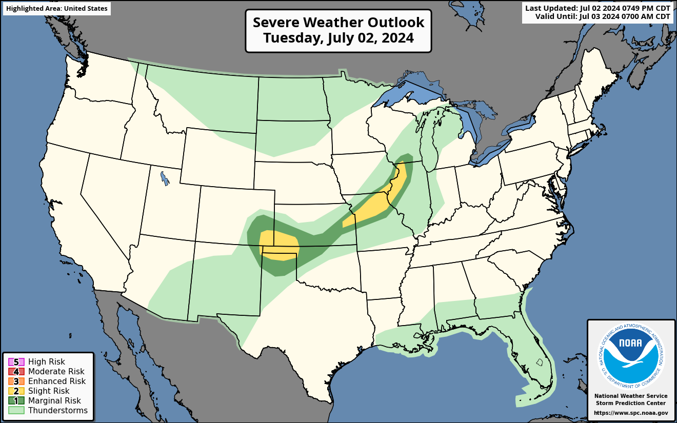
Current Severe Thunderstorm and Tornado Watches from the National Weather Service Storm Prediction Center



Graphics for Tomorrow

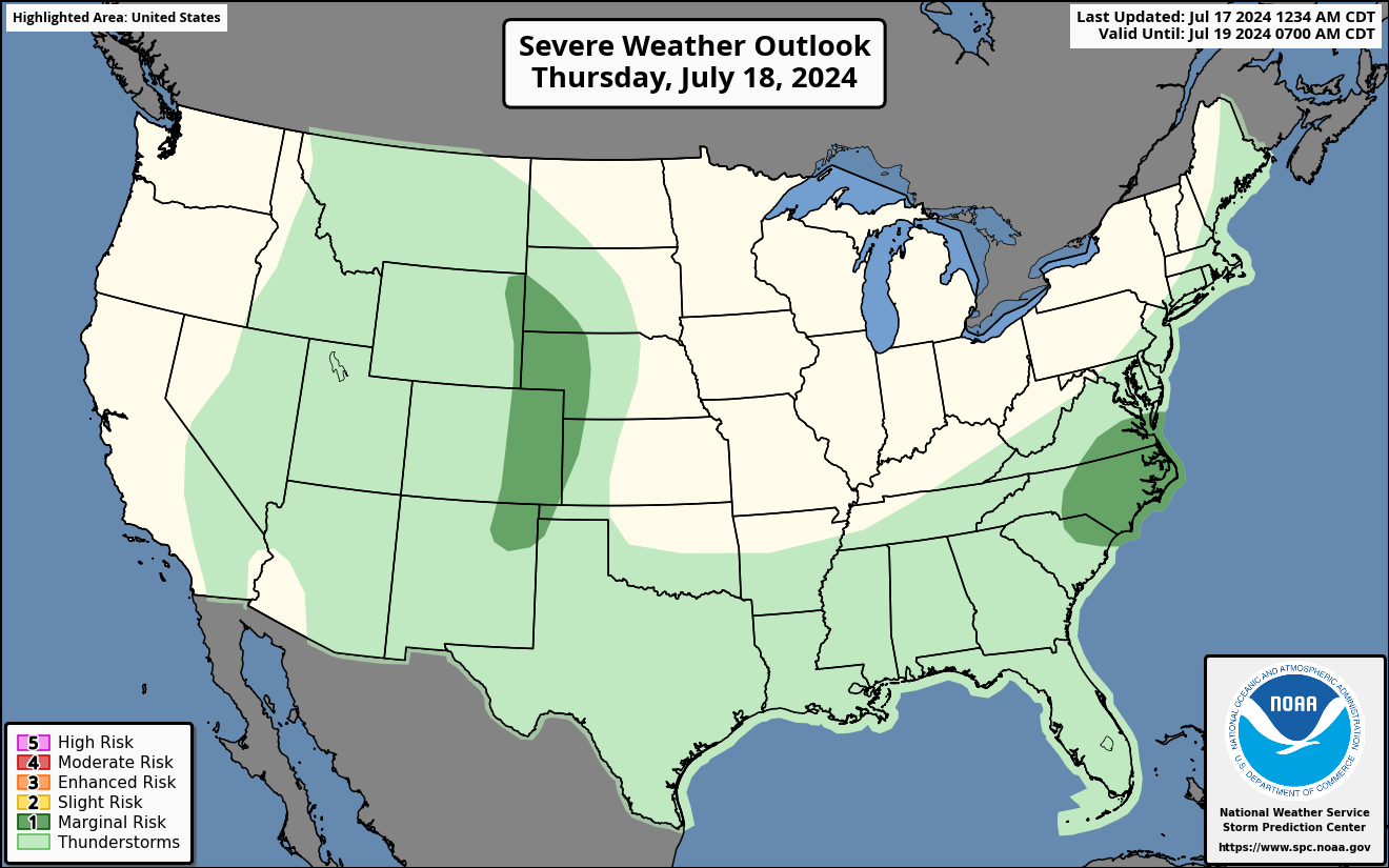

Three-day Summaries
Access to real-time road information:
Phone numbers and websites for road conditions in all 50 states. Courtesy of the Cheyenne WY Weather Forecast Office
Some useful links:
Thank you for using RVWeather.