
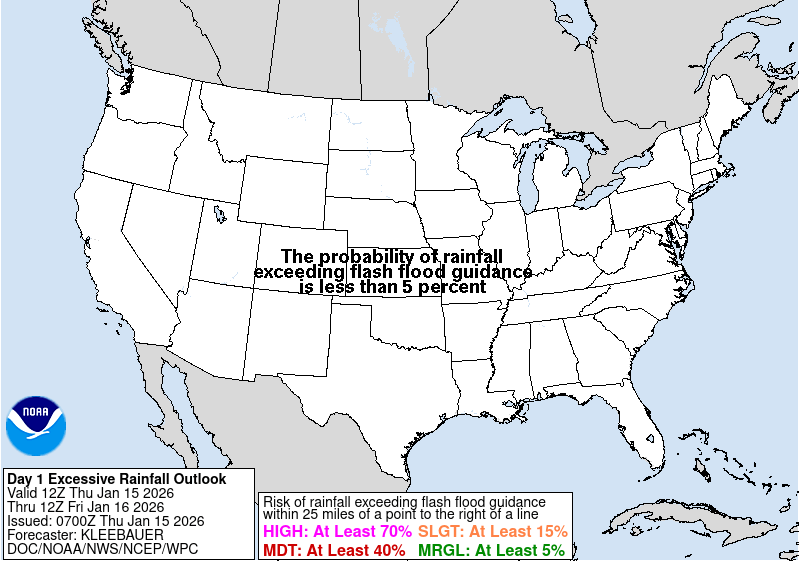
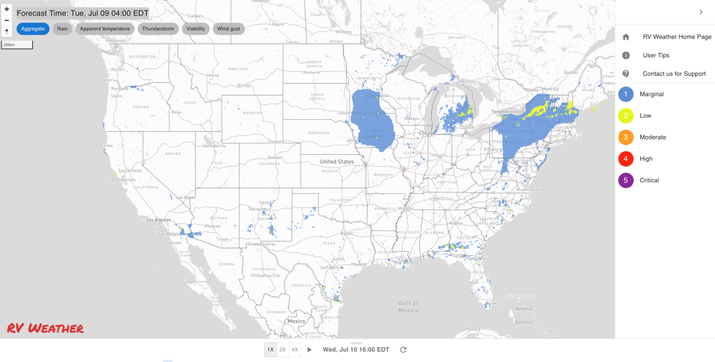
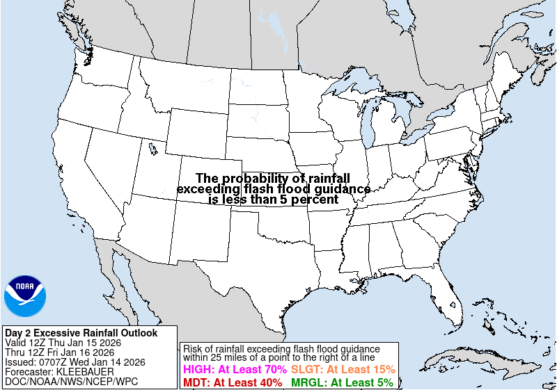
- Heavy rainfall from the remnants of Beryl will result in scattered flash flooding today into tonight from portions of the lower and mid Mississippi Valley into the Great Lakes. The rainfall and flash flood risk will move into portions of the Northeast on Wednesday.
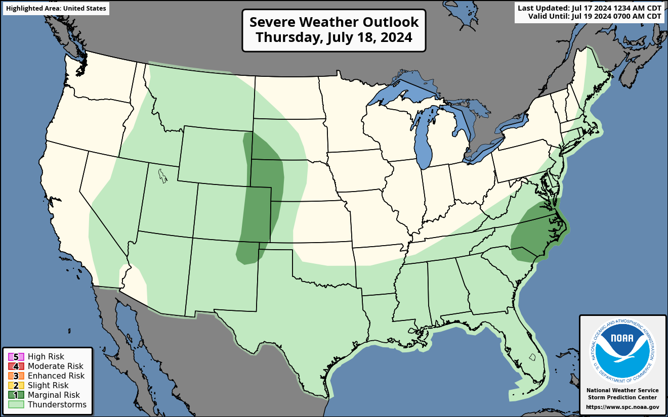
- A few tornadoes are possible today across the lower Ohio Valley, and Wednesday across the New York / Pennsylvania border, all associated with the remnants of Beryl.
- Heat Wave and high fire danger conditions continue across the West Coast, Cascades, Great Basin, Inter-mountain West and western deserts this week.
From the RV Weather Field Office in State College PA:
These are the most significant weather impacts to RV travel over the next two to three days. I do not list every area of rain, showers, or breezy winds. It would be exhausting (for both of us!).
Weather Impacts Pacific Time Zone:
— WA Cascades; central and portions of north-central OR: Red Flag (fire danger) today and early tonight for high temperatures and low humidities. I-90 impacted. I-82, I-84, I-90, US-97, US-395 impacted.
— Central and portions of south-central WA; portions of north-central OR: Strong winds Wednesday afternoon and evening. Wind gusts to 30 mph. I-84, I-90, US-97, US-395 impacted.
— Southern CA interior Santa Barbara County and Santa Ynez Mountains: Red Flag (fire danger) Warnings this afternoon into tonight. Wind gusts 25-35 mph. CA-154, CA-156 impacted.
— WA; northern ID; much of OR; NV; CA except for the immediate coastal areas and southern Sierra Nevada range: A combination of Excessive Heat Warnings, Watches and Advisories continue through mid-week in WA and OR and through the end of the week in CA and NV. High temperatures will range from the 90’s across WA, to lower 100’s for much of OR, to 100-115 deg for large portions of CA away from the coast. Temperatures in Death Valley will range from 125-130 deg F.
Weather Impacts Mountain Time Zone:
— Northwest MT; northern and southern ID; western and portions of central UT; western and parts of southern AZ: A combination of Excessive Heat Warnings, Watches and Advisories are in effect throughout the week. High temperatures will range from the 90’s in MT and northern ID, to the 107 deg F in western UT, to 118 deg F in the AZ deserts.
— Southwest and central UT: Red Flag (fire danger) warnings this afternoon and evening for high temperatures and low humidities. Wind gusts 20-30 mph. I-15, I-70, US-89 impacted.
— South-central UT Glen Canyon Recreation Area, Lake Powell, Zion National Park: Excessive Heat Warnings through Friday. Temperatures between 100-115 deg F.
— AZ Grand Canyon below 4000 feet: Excessive Heat Warning through Friday. Temperatures reaching 115 deg F.
— Much of central NM: Flood Watches Wednesday afternoon and evening. Flash flooding possible from showers and thunderstorms with rainfall rates up to 2 inches per hour. Burn scars and saturated areas are particularly vulnerable. I-25, I-40, US-54, US-64, US-70, US-82, US-84, US-285, US-380 potentially impacted.
— Much of central and southern NM and adjacent far-west TX: Strong to isolated severe thunderstorms may produce damaging wind gusts on Wednesday. I-10, I-25, I-40 potentially impacted.
Weather Impacts Central Time Zone:
— Southern and eastern IL; central, southern and southeast MO; northern AR: Flood Watches through late tonight. Heavy rains from the remnants of Beryl may lead to localized flooding. Rainfall totals around 1-3 inches, with locally heavier amounts. I-10, I-20, I-30, I-40, I-44, I-49, I-55, I-57, I-64, I-70 impacted.
— Southeast IL; western KY: Tornadoes and damaging wind gusts, associated with the remnants of Beryl, will be possible today. I-24, I-55, I-57, I-64, I-65, I-69 potentially impacted.
— Northern LA; southeast AR; northwest MS: Strong winds this morning, associated with the remnants of Beryl. Wind gusts to 30 mph. I-20, US-49W, US-65, US-82 impacted.
— Portions of southeast and south coastal TX: Heat Advisories today. Heat index values may reach 105 deg F. Much of this region lost power due to Beryl yesterday.
— Portions of far-west TX north of I-10 and I-20: Strong to isolated severe thunderstorms may produce damaging wind gusts on Wednesday. I-27 potentially impacted.
— Central AL: Heat Advisory today. Heat index values about 105 deg F.
Weather Impacts Eastern Time Zone:
— Northwest and north-central IN; southern MI: Flood Watches this evening through Wednesday evening. Heavy rainfall associated with the remnants of Beryl. Expect widespread rainfall amounts of 2-4 inches with some areas seeing 4-6 or more inches of rain. I-65, I-69, I-75, I-80, I-90, I-94, I-96, IN Toll Road impacted.
— Southern IN; northwest KY: Tornadoes and damaging wind gusts, associated with the remnants of Beryl, will be possible today. I-24, I-64, I-65, I-69, I-71, I-75 potentially impacted.
— Southern and central ME; much of NH; Southern VT; MA; CT; RI: Strong to marginally severe thunderstorm are possible today, and may produce a few damaging wind gusts and some hail. I-84, I-89, I-90, I-91, I-93, I-95, Mass Pike potentially impacted.
— East coast from Delaware to Cape Cod: Dense Fog Advisories this morning. I-95, US-1, US-6 impacted.
— Western and southern NY; northern and central PA: Damaging wind gusts and a few tornadoes are possible on Wednesday. I-79, I-80, I-81, I-84, I-86, I-87, I-88, I-90, NY Thruway potentially impacted.
— Southeast NH; eastern MA; RI; CT; much of eastern and central NY; NJ; most of MD; DE; DC; central and eastern VA; northeast and central NC; much of SC; central and eastern GA: Heat Advisories today. Heat index values will range from the mid to upper 90’s in New England and northern NY to 105-109 deg F in the Mid-Atlantic and Southeast.
— Southwest PA; western and central WV: Excessive Heat Warnings (southwest WV) and Advisories today. Heat index values around 105 deg F.
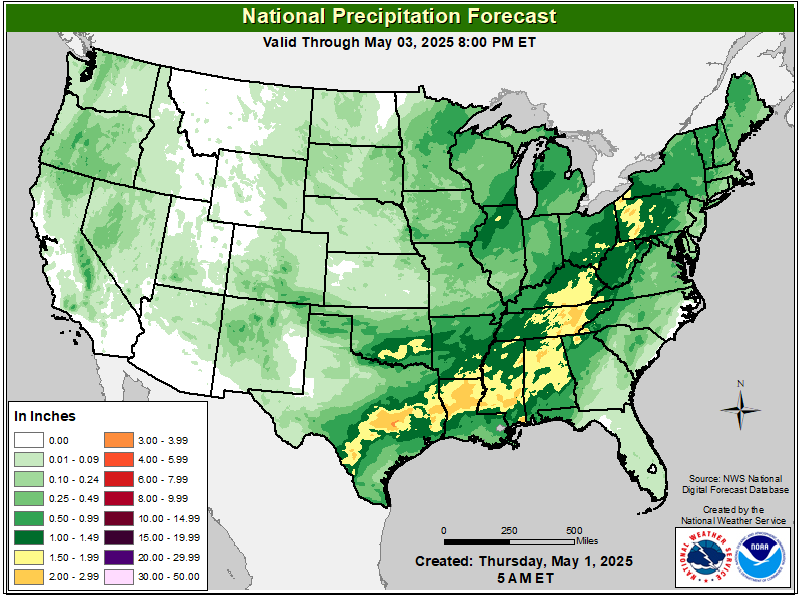
Graphics for Today
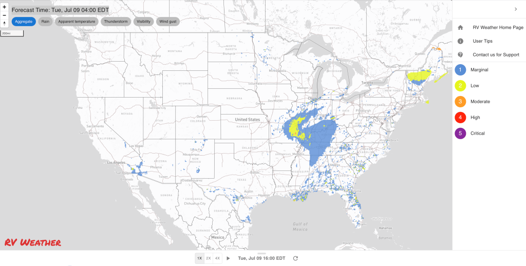

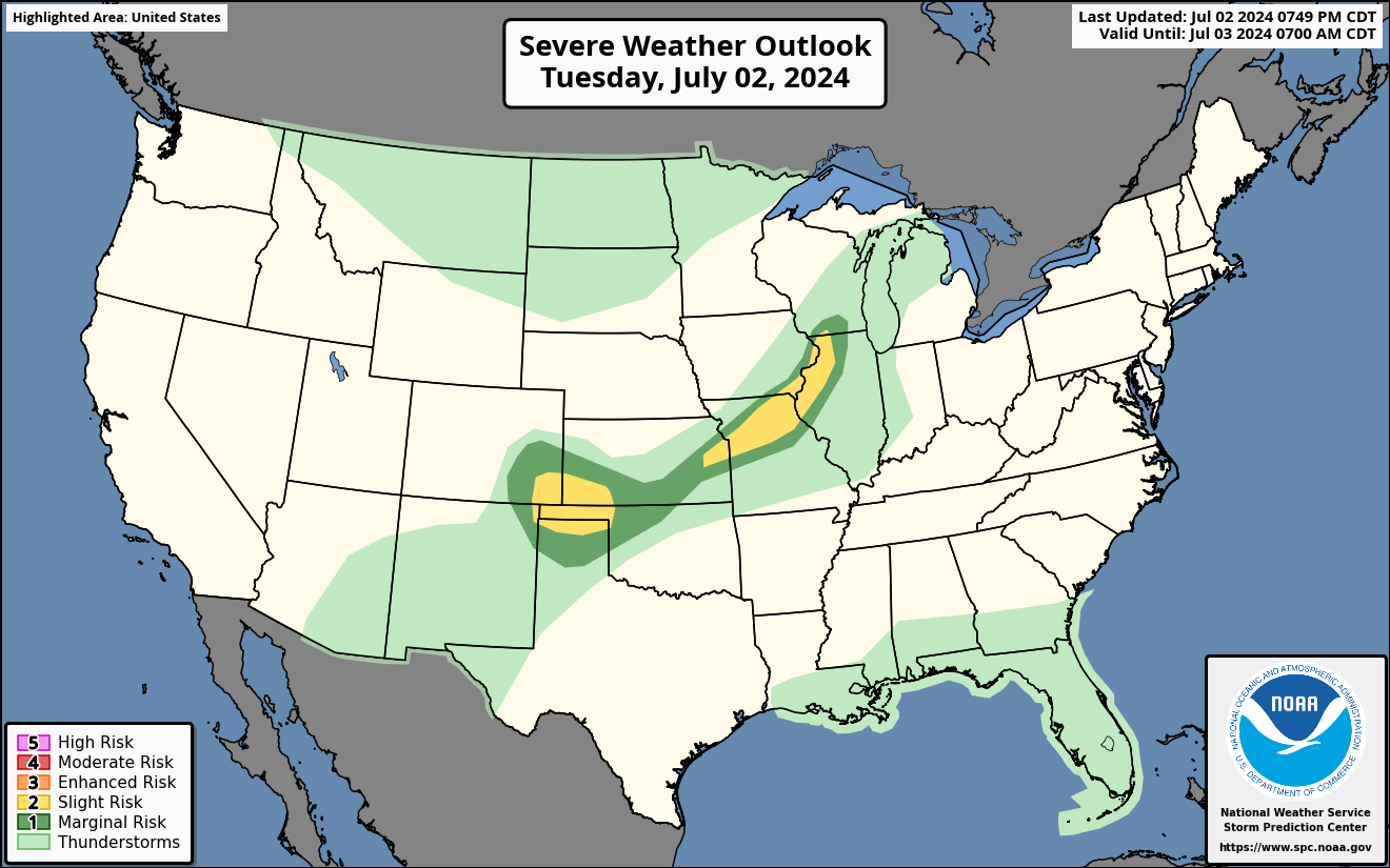
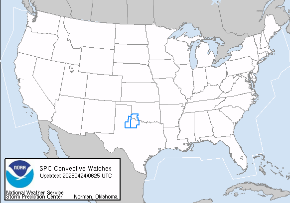
Current Severe Thunderstorm and Tornado Watches from the National Weather Service Storm Prediction Center

Graphics for Tomorrow

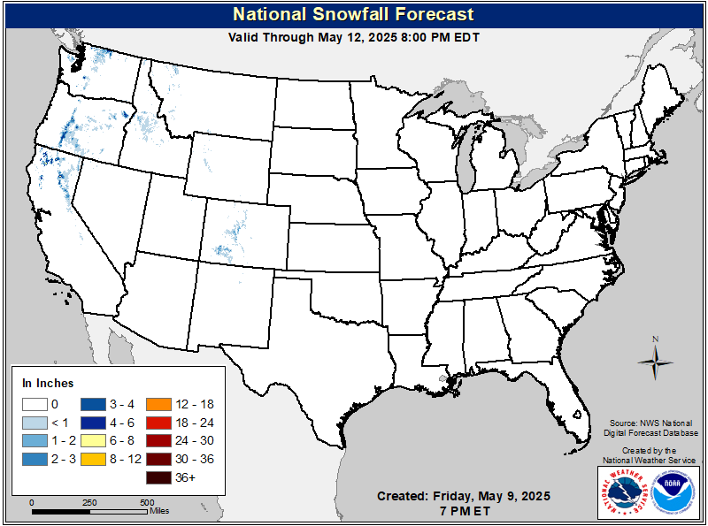
Three-day Summaries
Access to real-time road information:
Phone numbers and websites for road conditions in all 50 states. Courtesy of the Cheyenne WY Weather Forecast Office
Some useful links:
Thank you for using RVWeather.