
- Beryl made landfall early this morning along the central Texas Coast as a hurricane with 80 mph winds. Storm surge and high winds will continue along the coast through early afternoon.
- The storm will move through eastern Texas today and into Arkansas tonight with heavy rains and a threat of tornadoes. By Wednesday, Beryl’s rains will be in the Midwest and Ohio Valley.
- Heat Wave and high fire danger conditions continue across the West Coast, Cascades, Great Basin, Inter-mountain West and California and Arizona deserts this week.
From the RV Weather Field Office in State College PA:
These are the most significant weather impacts to RV travel over the next two to three days. I do not list every area of rain, showers, or breezy winds. It would be exhausting (for both of us!).
Weather Impacts Pacific Time Zone:
— North-central and portions of western WA: Red Flag (fire danger) for high temperatures and low humidities. I-90 impacted.
— WA; northern ID; OR; NV; CA except for the coastal areas: A combination of Excessive Heat Warnings, Watches and Advisories continue through mid-week. High temperatures will range from the 90’s across WA, to lower 100’s for much of OR, to 100-115 deg for large portions of CA away from the coast. Temperatures in Death Valley will range from 125-130 deg F.
Weather Impacts Mountain Time Zone:
— Northwest MT; Western, much of northern, southern and southeast ID; western and southern UT; western and parts of southern AZ: A combination of Excessive Heat Warnings, Watches and Advisories are in effect throughout the week. High temperatures will range from the 90’s in MT and northern ID, to the 107 deg F in western UT, to 118 deg F in the AZ deserts.
— Central NM, including Albuquerque: Wind Advisory continues through mid-morning. Gusts to 45 mph. I-25, I-40 impacted.
— South-central UT Glen Canyon Recreation Area, Lake Powell, Zion National Park: Excessive Heat Warnings through Friday. Temperatures between 100-115 deg F.
— AZ Grand Canyon below 4000 feet: Excessive Heat Warning through Wednesday. Temperatures reaching 114 deg F.
— South-central NM: Flood Watch Tuesday afternoon and evening. Flash flooding possible from showers and thunderstorms with rainfall rates up to 2 inches per hour. Burn scars are particularly vulnerable. US-54, US-70, US-82 potentially impacted.
Weather Impacts Central Time Zone:
— Southeast TX: TROPICAL STORM WARNINGS through mid-afternoon associated with Beryl. Wind gusts to near hurricane force this morning and gusts to 50 mph this afternoon. I-10, I-45 impacted.
— Coastal TX from Port O’Connor to Galveston Bay: STORM SURGE WARNINGS continue today. Beryl’s storm surge of 4-7 feet will impact the coast, back bays and bayous. Water levels slowly recede starting this afternoon.
— Portions of southeast TX, including Houston: TORNADO WATCH this morning. A couple of tornadoes and wind gusts to 70 mph possible, associated with Beryl. I-10, I-45 potentially impacted.
— Southern IL; south-central and southeast MO; northern and western AR; eastern TX: Flood Watches today and Tuesday. Heavy rains from Beryl will likely lead to flooding. Rainfall amounts will range from 4-7 inches across eastern TX to 2-4 inches in the mid-Mississippi and lower Ohio Valley. I-10, I-20, I-30, I-40, I-44, I-49, I-55, I-57, I-64, I-70 impacted.
— Southeast OK; southwest AR; northwest LA; northeast TX: Wind Advisories today and tonight. Winds will be 20-30 mph with higher, squally gusts, associated with the weakening remnants of Beryl. I-20, I-30 impacted.
— Eastern TX and western LA; southwest AR: Several tornadoes will be possible today as Beryl and its remnants move north through TX. I-10, I-20, I-30, I-49 potentially impacted.
— Southwest TX: Isolated strong to marginally severe thunderstorms possible today. Severe winds and hail are the primary hazards. I-10, I-20, US-90 potentially impacted.
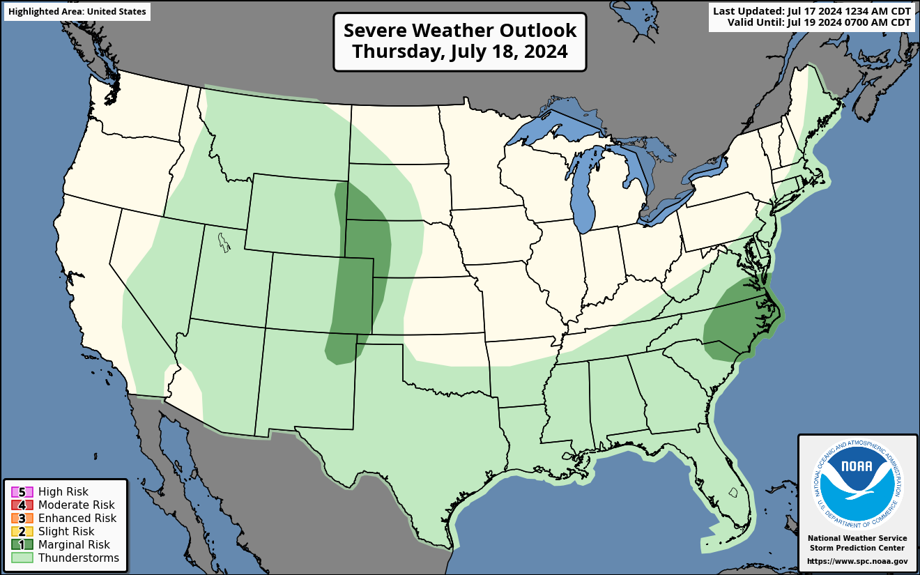
— Southeast IL; much of KY; western and northern TN: Isolated strong to severe thunderstorms may produce a few damaging wind gusts or tornadoes on Tuesday. I-22, I-24, I-40, I-55, I-57, I-64, I-65, I-69 potentially impacted.
— South TX: Heat Advisories today. Heat index values of 115 this afternoon. I-2, I-69E impacted.
— Southeast LA; much of MS, central and southern AL; FL Panhandle: Heat Advisories today. Heat index values around 110 deg F.
Weather Impacts Eastern Time Zone:
— East coast from Delaware to Cape Cod; RI; eastern MA: Dense Fog Advisories this morning. I-95, US-1 impacted.
— Southern VT and NH; MA; CT; RI: Strong to marginally severe thunderstorm may produce a few damaging wind gusts on Tuesday. I-84, I-89, I-90, I-91, I-93, I-95, Mass Pike potentially impacted.
— Southwest OH; southern IN; most of KY; north-central TN: Isolated strong to severe thunderstorms may produce a few damaging wind gusts or tornadoes on Tuesday. I-24, I-64, I-65, I-69, I-71, I-75 potentially impacted.
— Western and southern NY; northeast OH; northern and central PA; northern NJ: A couple of damaging wind gusts or tornadoes may accompany the remnants of Beryl on Wednesday. I-80, I-81, I-84, I-86, I-87, I-88, I-90, NY Thruway, OH Turnpike potentially impacted.
— Portions of eastern and southern MA; CT; southern NY; NJ; central and southeast PA; central MD; northern VA; southwest WV: Heat Advisories today. Heat index values 96-104 deg F.
— Much of central and southern GA; FL: Heat Advisories today. Heat index values 106-111 deg F.
Graphics for Today
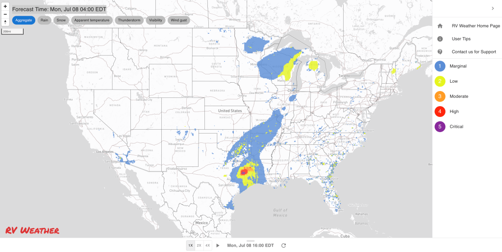

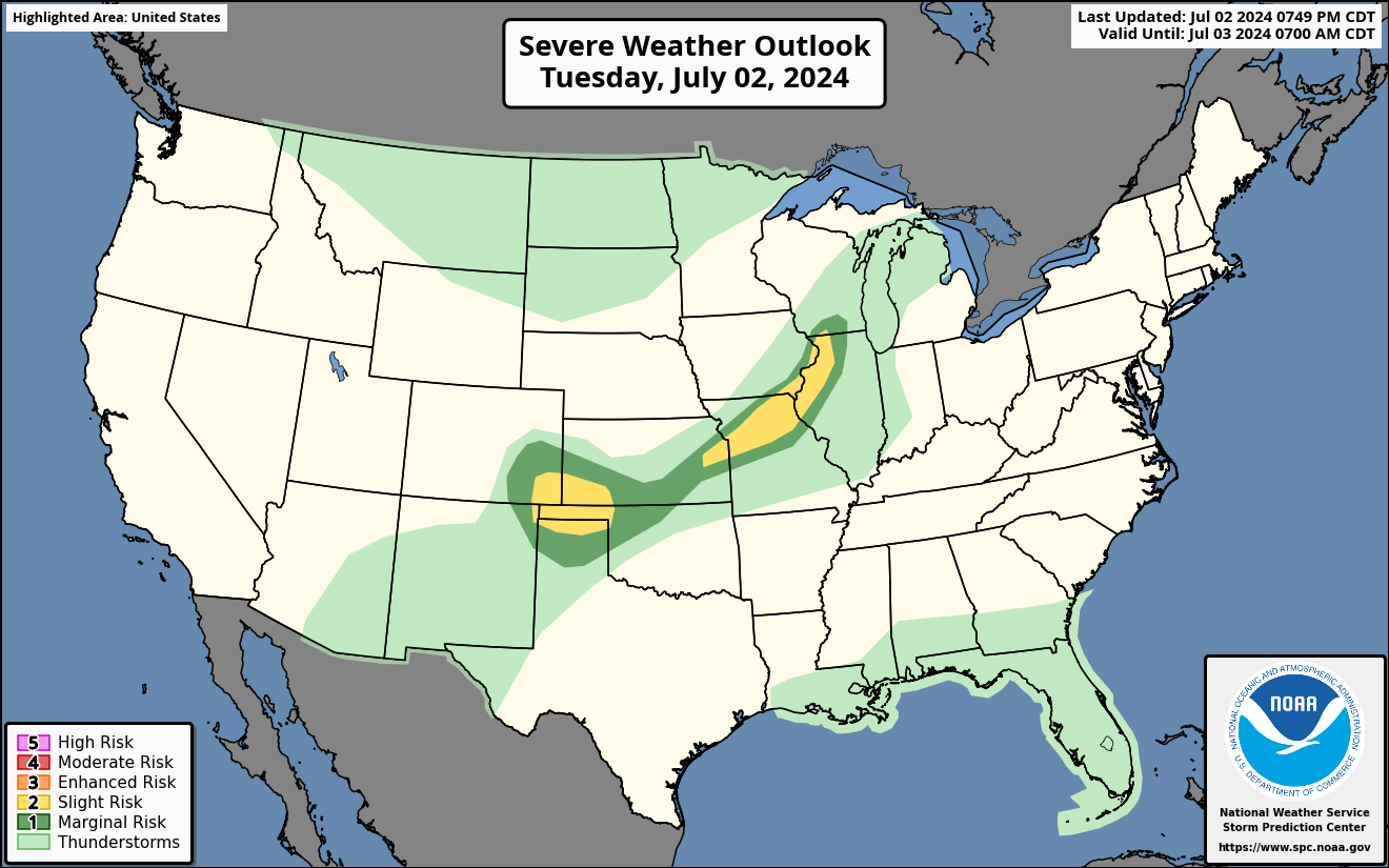
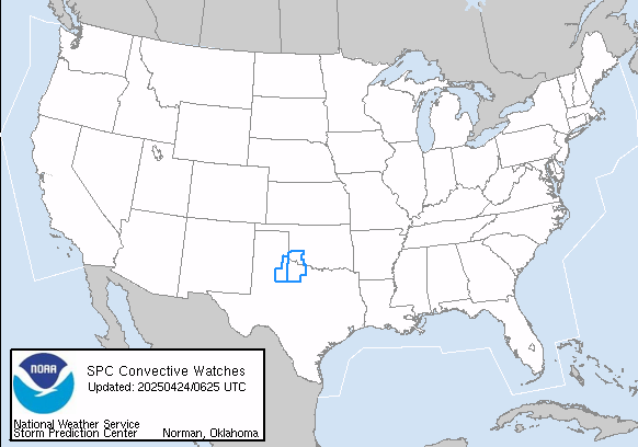
Current Severe Thunderstorm and Tornado Watches from the National Weather Service Storm Prediction Center
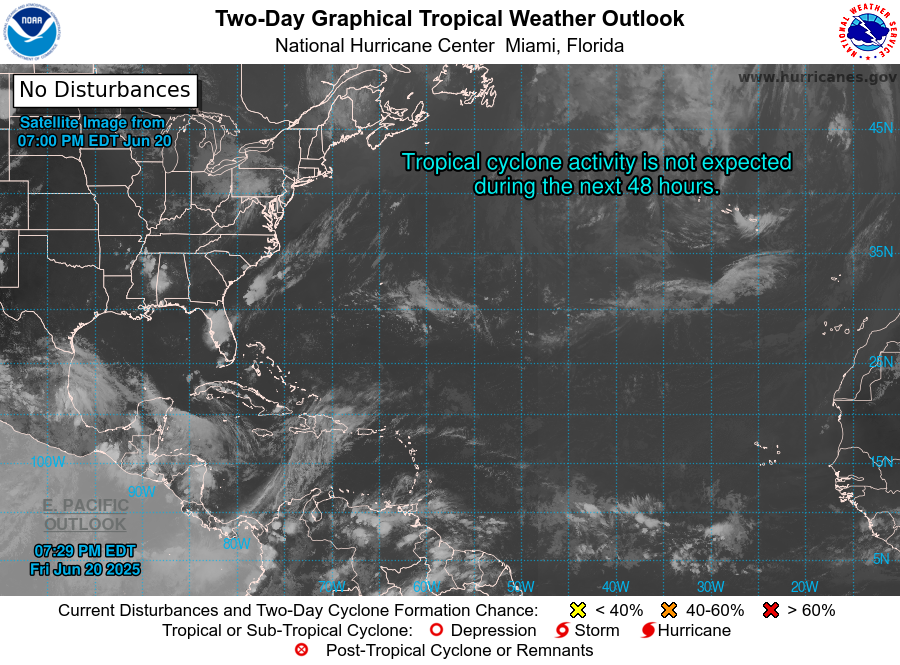

Graphics for Tomorrow


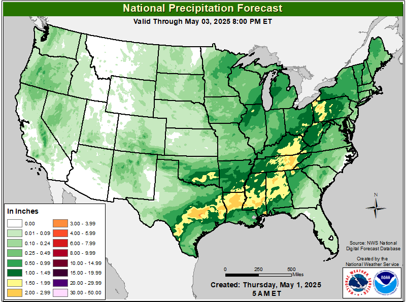
Three-day Summaries
Access to real-time road information:
Phone numbers and websites for road conditions in all 50 states. Courtesy of the Cheyenne WY Weather Forecast Office
Some useful links:
Thank you for using RVWeather.