
Planning to travel this week? Here’s what could impact your route.
- Heavy rains and flash flooding risk continues for much of this week from Texas to the Gulf Coast and Southeast
- Strong desert winds in California, Nevada, and Utah today and Wednesday.
- Severe thunderstorms this afternoon and evening across western and southern Texas.
Your route’s weather may vary from the general forecast — check your exact trip
48-hour access • No credit card required
Risk free – 30-day money-back guarantee
Significant travel weather for the next 2-3 days.
NEW: Extended forecast for the next 2 weeks now included!
Weather Impacts Pacific:
— Much of eastern Nevada, including southeastern Elko County, Ruby Mountains and East Humboldt Range, White Pine County, south-central Elko County, and northeastern Nye County: Wind Advisory beginning late this morning through late tonight, with south to southwest winds 20 to 30 mph and gusts near 50 mph, producing blowing dust and difficult travel for high-profile vehicles. I-80, US-6, US-50, US-93 impacted.
— Southern Nevada, the lower Colorado River region, Death Valley, the eastern Mojave Desert, Las Vegas Valley, Lake Mead, and Lake Mohave: Wind Advisory beginning late this morning through Wednesday morning, with southwest to south winds 20 to 35 mph and gusts 50 to 60 mph, creating hazardous crosswinds for high-profile vehicles and areas of blowing dust. I-11, I-15, I-40, US-6, US-93, US-95, CA-168 impacted.
— Eastern California Sierra Slopes, White Mountains of Inyo County, and Owens Valley: Wind Advisory beginning late this morning through Wednesday morning, with west winds 20 to 30 mph and gusts up to 50 mph, creating sudden crosswinds for high-profile vehicles, especially along US-395. US-6, US-395, CA-168 impacted.
— Southern California western Mojave Desert, Morongo Basin, Antelope Valley, Apple and Lucerne Valleys, San Gorgonio Pass near Banning, Riverside and San Diego County mountains and deserts, and Imperial County: Wind Advisory beginning late this morning through Thursday morning, with gusts 50 to 60 mph at times and areas of blowing dust, creating difficult driving for RVs and trailers on exposed desert routes and passes. I-8, I-10, I-15, I-40 impacted.
— Coastal California San Luis Obispo County coast, Santa Barbara County coast, Santa Ynez Valley, Ventura County beaches, and Santa Ynez Mountains Western Range: Wind Advisory this afternoon through Wednesday morning, with winds 15 to 35 mph and gusts 35 to 50 mph, creating crosswinds on coastal and canyon routes. US-101, CA-1 impacted.
Weather Impacts Mountain:
— Western Montana and adjacent central and eastern Idaho: Isolated severe thunderstorms are possible this afternoon and evening, with isolated severe gusts and hail. I-15, I-90, US-2, US-12, US-20, US-87, US-89, US-93, US-191, US-212, US-287 potentially impacted.
— North-central and northeast Montana: Heat Advisory beginning around midday today through Wednesday evening, with temperatures as high as 98 to 104 degrees and poor overnight temperature recovery tonight.
— Eastern Montana: Red Flag Warning beginning around midday through late evening and again Wednesday midday through Wednesday evening, with southeast winds 15 to 25 mph, with gusts to 40 mph. I-94, US-2 impacted.
— West-central and southwest Utah, including western Millard County, and Juab County: Wind Advisory beginning around midday through Wednesday morning, with south winds 25 to 35 mph and gusts up to 50 mph; localized blowing dust may restrict visibility, especially near terrain features along US-50, creating hazardous travel conditions for RVs and trailers. I-15, US-6, US-50 impacted.
Weather Impacts Central:
— Far western North Dakota: Red Flag Warning beginning late this morning through late evening, with winds around 25 mph and gusts to 40 mph, creating rapid fire spread potential near exposed travel corridors. I-94, US-2, US-12, US-85 impacted.
— Southeast North Dakota, northeast South Dakota, central and southern Minnesota, and much of Wisconsin: Isolated severe thunderstorms are possible this afternoon and evening. Isolated severe gusts and hail are the primary hazards. I-29, I-35, I-35E, I-35W, I-39, I-41, I-43, I-90, I-94 potentially impacted.
— Southwest and far-west Texas: FLASH FLOOD WARNINGS continue through early this morning, with one-half to 3 inches of rain already fallen and additional rainfall up to 2 inches possible in the warned areas; flash flooding is ongoing or expected on small creeks, urban roads, underpasses, and low-lying areas. I-20, US-62, US-90, US-180, US-285, US-385 impacted.
— Much of southern central and western Texas: Severe thunderstorms are possible this afternoon and evening, accompanied by large hail, severe wind gusts, and a couple tornadoes. I-2, I-10, I-14, I-20, I-27, I-35, I-37, I-69, I-69C, I-69E potentially impacted.
— Most of Texas: Flash flooding is possible today into tonight as repeated showers and thunderstorms with slow movement produce heavier rainfall, especially across the southern Texas Panhandle, Permian Basin, and western Rolling Plains. I-10, I-14, I-20, I-27, I-30, I-35, I-37, I-44, I-45, I-69E potentially impacted.
— Southeast Louisiana, southern Mississippi, Alabama, the Florida Panhandle, and southwest Georgia: Flood Watches through Wednesday morning, with 2 to 4 additional inches of rain possible Some areas will see 6 to 8 inch rainfall totals. I-10, I-12, I-20, I-22, I-55, I-59, I-65, I-85 potentially impacted.
— Central and southeastern Texas into much of Louisiana: Flash flooding is possible Wednesday into Wednesday night, with the most favorable setup near eastern Hill Country, the I-35 corridor, east Texas, and the Texas and Louisiana Gulf Coast areas. I-10, I-12, I-14, I-20, I-30, I-35, I-37, I-45, I-49, I-69, I-69E potentially impacted.
Weather Impacts Eastern:
— Southeast Michigan near the Lake Erie lakeshore: Patchy dense fog and visibility of 1 mile or less possible this morning before conditions improve. I-75, I-94, I-96, US-23, US-127 impacted.
— Central and southeastern Indiana through north-central Kentucky, central and southern Ohio, northern and central West Virginia and adjacent far-western Maryland: Flash flooding is possible Wednesday into Wednesday night as heavy rainfall expands into the Ohio Valley and central Appalachians. I-64, I-65, I-68, I-69, I-70, I-71, I-74, I-75, I-77, I-79 potentially impacted.
— Central and southeast Kentucky: Isolated severe storms are possible this afternoon and evening, with isolated severe gusts and a marginal tornado threat causing rapidly changing travel conditions. I-64, I-65, I-75, US-25E, US-27, US-31E, US-58, US-60, US-68, US-127 potentially impacted.
— Central and eastern Pennsylvania, northeast Pennsylvania, central New York, and northwestern New Jersey: Dense Fog Advisory through late this morning, with visibility one-quarter mile or less. I-70, I-76, I-78, I-80, I-81, I-83, I-84, I-86, I-88, I-90, I-95, I-99 impacted.
— District of Columbia, Maryland Eastern Shore, much of Virginia, and adjacent northeastern North Carolina: Scattered strong thunderstorms are possible Wednesday afternoon into early evening, with a few damaging gusts possible. I-64, I-66, I-81, I-85, I-95, I-97 potentially impacted.
— Henderson County, western North Carolina: FLASH FLOOD WARNING early this morning, with 3 to 6 inches of rain already fallen and ongoing flash flooding reported; small creeks, urban roads, underpasses, and low-lying areas may remain dangerous even with less than half an inch of additional rainfall expected. I-26, US-25, US-64, US-74 impacted.
— Western North Carolina: Flood Advisory through Wednesday morning for the French Broad River near Old Fanning Bridge Road, with action-stage flooding and scattered farmland or park access flooding possible near Henderson and Buncombe Counties. I-26, US-74 impacted.
— Western, central and northern Georgia: Flood Watch through late tonight, with multiple rounds of rainfall, high rain rates, and training showers or thunderstorms that may cause flash flooding in urban areas, poor drainage areas, creeks, and streams. I-16, I-20, I-24, I-59, I-75, I-85 potentially impacted.
— Big Creek near Alpharetta in north Georgia: Flood Warning through Wednesday morning, with minor flooding occurring and Big Creek expected to crest near 8.5 feet; portions of the Big Creek Greenway, YMCA Campground off Preston Ridge Road, and Ridge Road may flood. US-19 potentially impacted.
— Parts of Georgia through much of South Carolina, central and western North Carolina into southern and southwest Virginia: Flash flooding is possible today into tonight where repeated heavy rainfall may affect urban areas, poor drainage areas, creeks, streams, and low-lying roads. I-10, I-16, I-20, I-26, I-40, I-73, I-74, I-75, I-77, I-81, I-85, I-95 potentially impacted.
Outlook Thursday May 28th through Monday June 1st:
— Thursday, May 28 through Friday, May 29: from eastern Texas across the Lower Mississippi Valley into western Tennessee: Heavy rain may create localized flooding and reduced visibility. Major highways potentially affected include I-10, I-20, I-30, I-40, I-55.
— Saturday, May 30: from Tennessee and the central Gulf Coast into Georgia and the Carolinas: Heavy rain may create localized flooding and reduced visibility. Major highways potentially affected include I-10, I-20, I-40, I-65, I-74, I-75, I-81, I-85, I-95.
— Saturday, May 30 through Sunday, May 31: most of Florida, southeastern Georgia, coastal South Carolina, and southeastern North Carolina: Heavy rain may create localized flooding and reduced visibility. Major highways potentially affected include I-4, I-10, I-40, I-75, I-95.
Extended Outlook June 2nd through 8th:
— Tuesday, June 2 through Thursday, June 4: portions of interior California: Extreme heat may develop, which could create challenging conditions. Major highways potentially affected include I-5, I-80, CA-99.
— Tuesday, June 2 through Thursday, June 4: portions of southeastern California and much of southwestern Arizona: Extreme heat may develop. Major highways potentially affected include I-8, I-10.
— Tuesday, June 2 through Thursday, June 4: much of central and southern Florida: Heavy precipitation is likely, which may create localized flooding and reduced visibility. Major highways potentially affected include I-4, I-75, I-95.
— Tuesday, June 2 through Friday, June 5: southern Alabama, Florida, and southern Georgia: Heavy precipitation may develop, which could create localized flooding and reduced visibility. Major highways potentially affected include I-4, I-10, I-65, I-75, I-95.
Forecast Confidence for the Extended Outlook:
Confidence is generally good for the earlier period at the large-scale pattern level, but smaller-scale details remain uncertain, especially across the southern tier. While confidence is lower later in the outlook, there is still decent overall agreement, but more uncertainty in precipitation details.
Looking for real-time road conditions? Here’s a link, courtesy of the Federal Highway Administration, to all the individual State 511 websites.
Your route’s weather may vary from the general forecast — check your exact trip
48-hour access • No credit card required
Risk free – 30-day money-back guarantee
Selected travel-relevant Weather Graphics

Graphics for Today
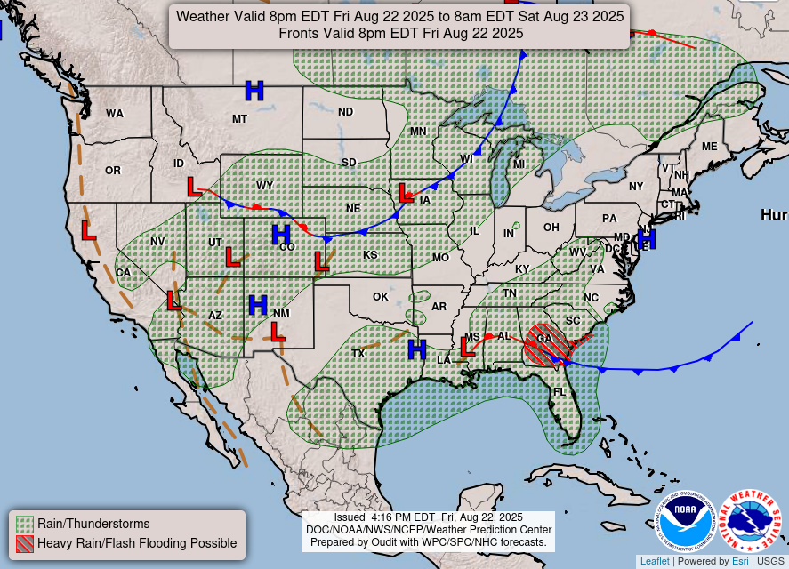
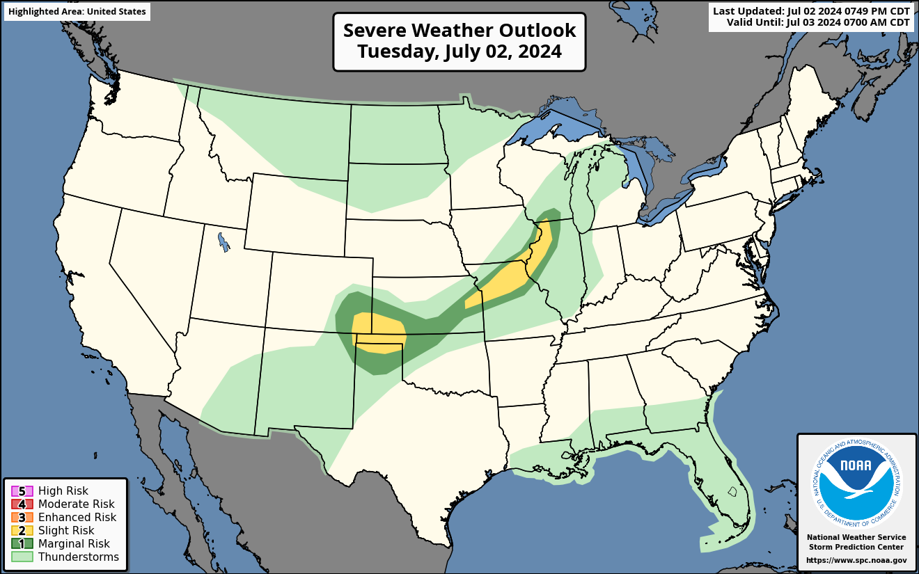
Current Severe Thunderstorm and Tornado Watches from the National Weather Service Storm Prediction Center


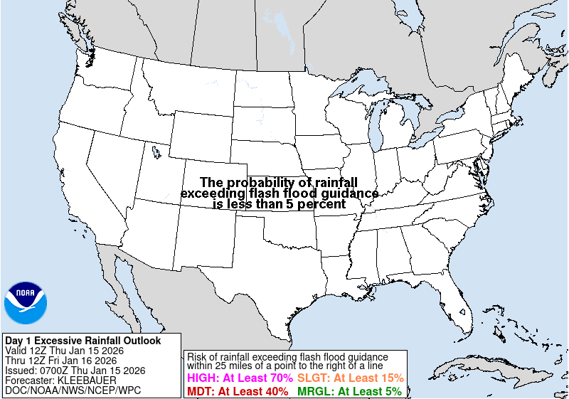

Hail Size Forecast for today and tomorrow

Wildfire Smoke Forecast for today and tomorrow

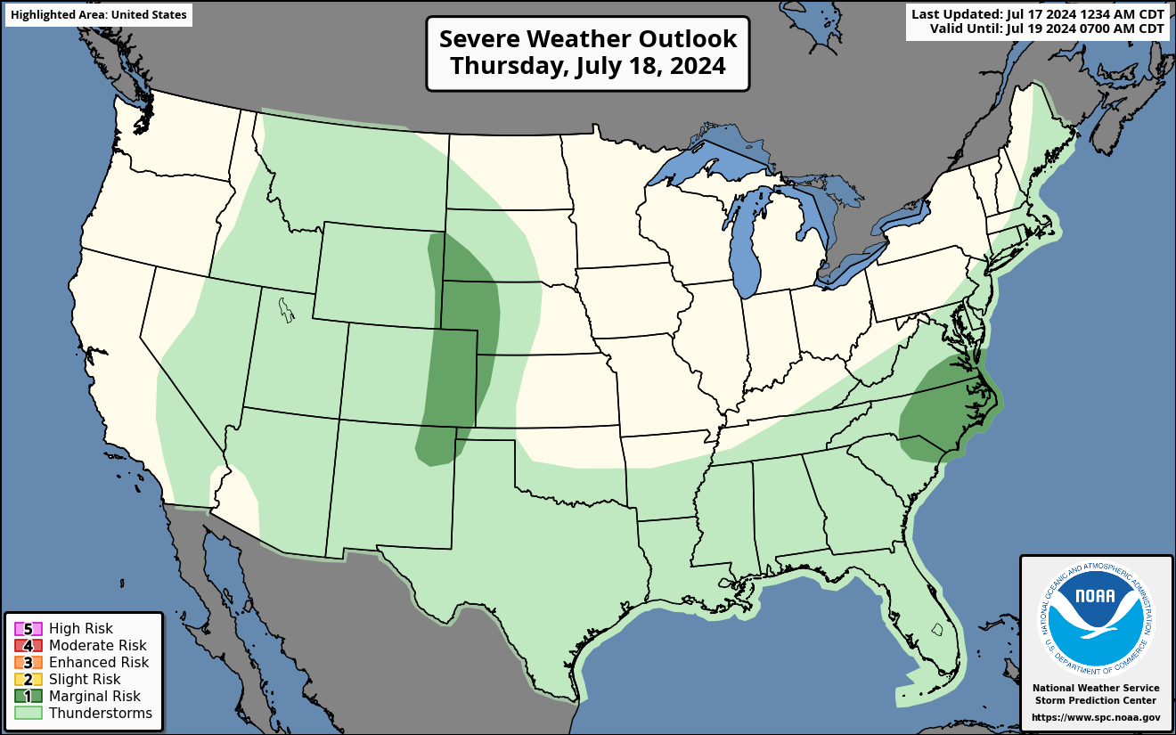
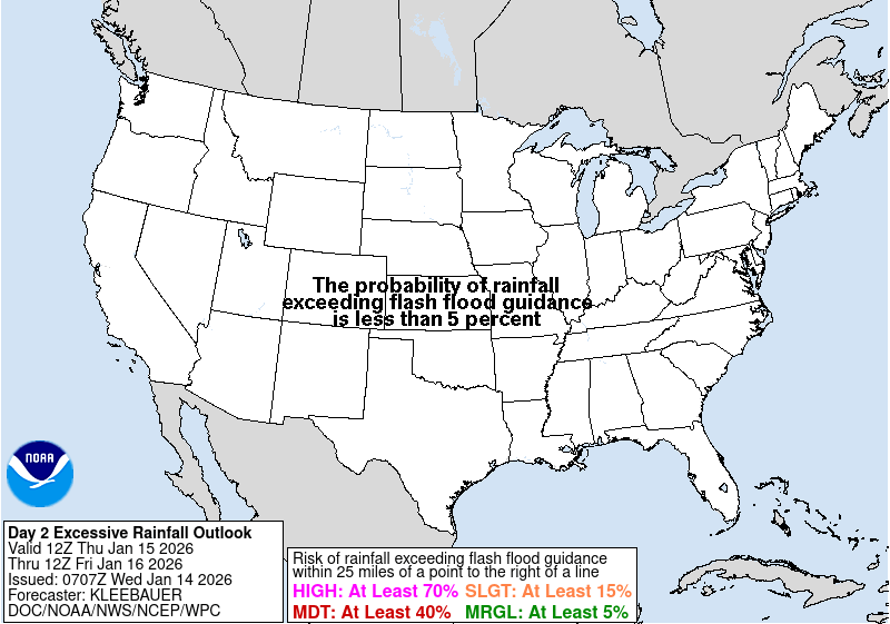
Graphics for Tomorrow
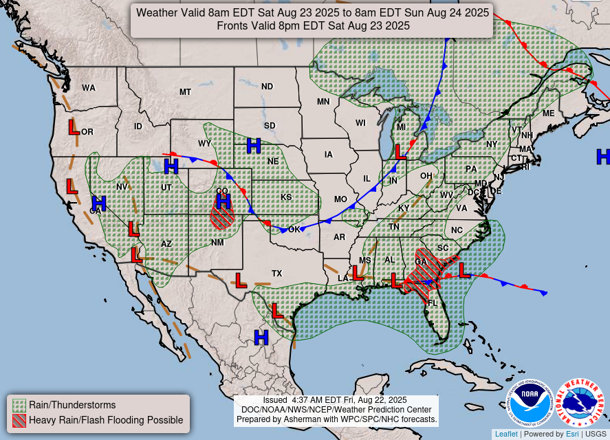

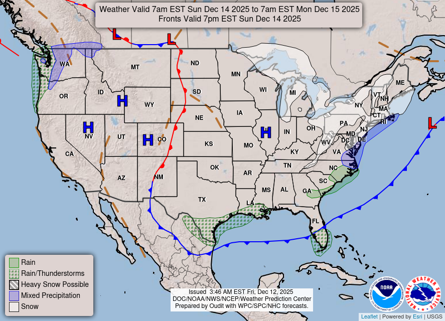
National Weather Map for the Day after Tomorrow
Three-day Summaries


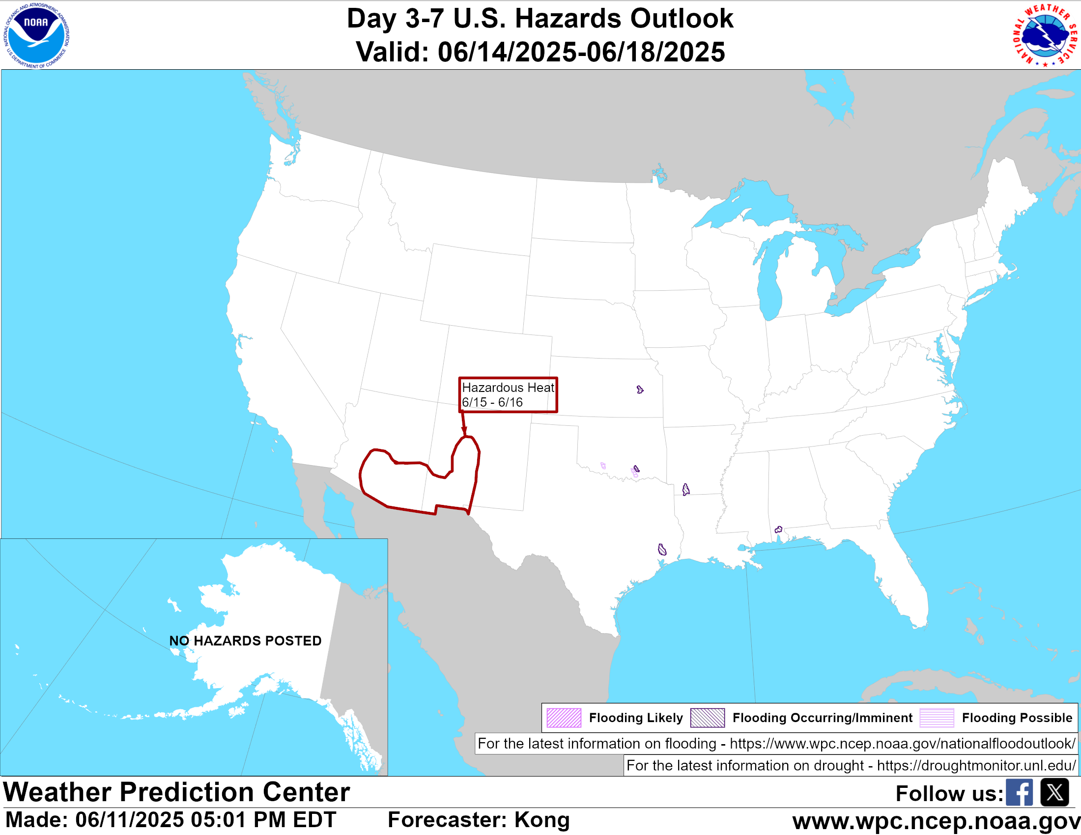
Day 3 – Day 7 U.S. Significant Weather Outlook
Access to real-time road information:
Phone numbers and websites for road conditions in all 50 states. Courtesy of the Cheyenne WY Weather Forecast Office
Some useful links:
Thank you for using RVWeather.