
Planning to travel this week? Here’s what could impact your route.
- Potentially dangerous flooding event develops over the Montana Rockies and Wyoming Big Horn Mountains. Heavy rains + snowmelt + steep terrain is a recipe for Flash Flooding; be very careful where you set up camp.
- Heavy rains continue this morning across south-central Kentucky and eastern Tennessee with on-going Flash Flooding.
- Strong to high winds today across much of coastal New England; Cape Cod could see wind gusts to 65 mph.
Your route’s weather may vary from the general forecast — check your exact trip
48-hour access • No credit card required
Risk free – 30-day money-back guarantee
Significant travel weather for the next 2-3 days.
NEW: Extended forecast for the next 2 weeks now included!
Weather Impacts Pacific:
— No significant weather impacts to RV travel today or Sunday.
Weather Impacts Mountain:
— Northwest Montana including the West Glacier Region and Flathead/Mission Valleys: Flood Watch beginning early evening through Monday, with 1 to 2 inches of rain in valley locations and 2 to 4 inches in the terrain possible late Saturday through Monday. Rain and snowmelt may cause fast rises on streams and rivers, rockfall, debris flows, and difficult travel near steep terrain and Going-to-the-Sun Road approaches. US-93 potentially impacted.
— Central and north-central Montana from the Rocky Mountain Front through East Glacier, the Northern High Plains, Cascade County below 5000 feet, and Gates of the Mountains: Flood Watch beginning around midday through Monday evening, with rainfall amounts of 1 to 2 inches and a 10% chance for 3 inches. Creeks and rivers from the Rocky Mountain Front, including Badger Creek, Sun River, Marias River, and Saint Mary River, may rise quickly, and some unpaved rural roads may become impassable. I-15, US-2, US-87, US-89 potentially impacted.
— West-central Montana Clark Fork River above Missoula: Flood Watch beginning Sunday evening through Friday morning, where heavy rain and mountain snowmelt may cause river flows to increase quickly and reach critical levels. Low-lying roads near the river may flood, including areas near Orchard Homes. I-90, US-12, US-93 potentially impacted.
— Parts of south-central Wyoming and north-central Wyoming including Red Lodge Foothills, Absaroka/Beartooth Mountains, Northeast Bighorn Mountains, and Sheridan Foothills: Flash Flood Watch beginning this morning through Sunday morning, with heavy rainfall over the Elk, Robertson Draw, and East Side burn areas, including slopes of the Bighorn Mountains and areas south of Red Lodge. Rapid runoff, debris flows, and flooding in narrow drainages and low-lying areas may make mountain travel hazardous. I-90, US-14, US-16, US-89, US-212 potentially impacted.
— Eastern Montana, eastern Wyoming, and northeastern Colorado: Scattered severe thunderstorms are expected this afternoon and evening, with large hail, severe wind gusts, and an isolated tornado. I-25, I-76, I-80, I-90, I-94, US-2, US-6, US-12, US-14, US-16, US-18, US-20, US-26, US-30, US-34, US-36, US-85, US-87, US-212, US-385 potentially impacted.
— Southeast Wyoming wind-prone areas including Sherman Summit, the South Laramie Range, and nearby foothills: High Wind Watch beginning late evening through Sunday afternoon, with west winds 25 to 35 mph and gusts up to 60 mph possible. Strong crosswinds may be hazardous for high-profile RVs, campers, and trailers. I-25, I-80, US-30, US-85, US-287 potentially impacted.
— Much of eastern Colorado: Isolated severe thunderstorms are possible Monday afternoon and evening, accompanied by isolated severe wind gusts and hail. I-25, I-70, I-76, US-24, US-34, US-36, US-40, US-50, US-85, US-160, US-285, US-287, US-385, US-400 potentially impacted.
Weather Impacts Central:
— Southwestern North Dakota, western, central and southeast South Dakota, Nebraska, most of Kansas, western Missouri, much of Oklahoma, northwestern Arkansas, and central and northern Texas: Scattered severe thunderstorms are expected this afternoon and evening, accompanied by large hail, severe wind gusts, and an isolated tornado. The greatest risk of severe weather will be across western South Dakota, parts of Nebraska, parts of Kansas, and north-central Oklahoma. I-10, I-20, I-29, I-30, I-35, I-40, I-44, I-49, I-70, I-76, I-80, I-90, I-94 potentially impacted.
— Southwest and south-central North Dakota, northern, central and eastern South Dakota, western, central and southern Iowa, eastern Nebraska, most of Missouri, central and eastern Kansas, and adjacent northeastern Oklahoma: Scattered severe thunderstorms are possible Sunday afternoon and evening, with large hail, severe wind gusts, and an isolated tornado or two. The greatest risk of severe weather will be across southeastern South Dakota, eastern Nebraska, and western Iowa. I-29, I-35, I-44, I-49, I-55, I-64, I-70, I-72, I-80, I-90, I-94 potentially impacted.
—Parts of southwest Minnesota, much of Iowa, southeastern Nebraska, east-central and southern Illinois, Kansas, northeastern Oklahoma, Missouri and adjacent far-northern Arkansas, western Kentucky, and northwest and central Tennessee: Isolated severe thunderstorms are possible Monday afternoon and evening, accompanied by isolated severe wind gusts and hail. I-24, I-29, I-35, I-40, I-44, I-49, I-55, I-57, I-59, I-64, I-65, I-69, I-70, I-72, I-75, I-80, I-90 potentially impacted.
— Western Tennessee near the Tennessee River at Johnsonville: Flood Advisory through late tonight, with elevated river levels forecast along the Tennessee River including Pickwick Dam, Savannah, Saltillo, Perryville, and Johnsonville. Low-lying roads near the river may have high water. Roads near US-70, US-79 may be impacted.
— Southern Louisiana and southern Mississippi river corridors: Flood Warnings continue through Monday evening along parts of the Calcasieu, Pearl, East Hobolochitto, Pascagoula, Biloxi, Wolf, and Leaf Rivers, with minor flooding forecast or continuing. Low-lying roads near rivers, campgrounds, and access routes may have high water. Roads near I-10, I-59, US-90, US-98, US-171 may be impacted.
Weather Impacts Eastern:
— Eastern Tennessee near McMinn County: FLASH FLOOD WARNING this morning, with 2 to 3 inches of rain fallen over the last hour and additional rain expected. Rapid flooding may make low-water crossings, low-lying roads, and campground access roads unsafe. Roads near I-75 likely impacted.
— Eastern Tennessee, and parts of adjacent western North Carolina mountains: Flood Watch continues through this afternoon, with rainfall rates of 1 to 3 inches per hour possible in showers and storms, especially where heavy rain repeats over the same area. Flash flooding may develop quickly in mountain valleys, low-water crossings, and poor-drainage areas. I-24, I-26, I-40, I-75, I-81 potentially impacted.
— Parts of south-central and eastern Kentucky and eastern Tennessee, including Great Smoky Mountains National Park: Flood Advisories through late morning, with one-half to 2 inches of rain already fallen in some areas, 1.5 to 2 inches over the last hour near Knox County, and additional rainfall up to 1.5 inches expected in parts of Kentucky. Minor flooding in low-lying and poor-drainage areas may slow travel. Roads near I-40, I-75, US-27, US-68, US-70, US-127 may be impacted.
— Southern New England including Cape Cod, Nantucket, Massachusetts, and Rhode Island: High Wind Warning beginning this morning through late evening for Barnstable and Nantucket, with winds 25 to 35 mph and gusts up to 65 mph; surrounding Wind Advisories include gusts up to 50 to 55 mph. Hazardous crosswinds may affect RVs, trailers, bridges, and exposed coastal roads. I-84, I-90, I-93, I-95, US-1, US-6, US-44, US-202 impacted.
— Southern Maine and southern New Hampshire: Wind Advisory through late morning, with winds inland 15 to 25 mph and gusts up to 50 mph, and coastal winds 20 to 30 mph with gusts up to 55 mph. High-profile RVs may have difficult travel on exposed roads and coastal bridges. I-93, I-95, US-1, US-3, US-4 impacted.
— Pennsylvania Poconos: Wind Advisory through this afternoon, with winds 10 to 20 mph and gusts up to 50 mph on ridges, while valley locations may see gusts to 40 mph. Exposed ridge travel may be difficult for high-profile vehicles. I-80, I-380, PA Turnpike Northeast Extension impacted.
— South-central Kentucky, central and eastern Tennessee, southwestern North Carolina, much of South Carolina, and northern and northeastern Georgia: Isolated severe thunderstorms are possible Monday afternoon and evening, accompanied by isolated severe wind gusts and hail. I-20, I-24, I-26, I-40, I-59, I-65, I-75, I-77, I-81, I-85, I-95 potentially impacted.
Outlook Monday MayJune 1st through Friday June 5th:
— Tuesday, June 2 through Wednesday, June 3: much of eastern New Mexico and western Texas: Heavy rain may create localized flooding and reduced visibility. Major highways potentially affected include I-10, I-20, I-40.
— Thursday, June 4: southern Louisiana and southern Mississippi: Heavy rain may create localized flooding and reduced visibility. Major highways potentially affected include I-10, I-55.
Extended Outlook June 6th through 12th:
— Saturday, June 6 through Monday, June 8: portions of the West, including much of Oregon, California, Idaho, Nevada, and Utah: Strong winds may develop, which could create hazardous crosswinds for high-profile vehicles, especially near higher terrain and passes including Deadman Pass, Donner Pass, Cajon Pass, and San Gorgonio Pass. Major highways potentially affected include I-5, I-10, I-15, I-40, I-70, I-80, I-84.
— Saturday, June 6 through Sunday, June 7: from eastern Montana and the northern Plains into the Upper Midwest and western Great Lakes: Extreme heat is likely, which may create challenging conditions. Major highways potentially affected include I-29, I-35, I-74, I-80, I-90, I-94.
— Saturday, June 6 through Friday, June 12: from the central Plains into the Midwest, Ohio Valley, and lower Great Lakes: Extreme heat may develop, which could create challenging conditions. Major highways potentially affected include I-25, I-29, I-35, I-55, I-64, I-65, I-70, I-71, I-74, I-75, I-76, I-79, I-80, I-90, I-94.
Forecast Confidence for the Extended Outlook:
Confidence is average overall. Large-scale pattern agreement is generally good for the earlier period, though some uncertainty remains in the placement and timing of western and eastern U.S. features. Later in the outlook, confidence remains average, with stronger agreement on the temperature pattern but weaker or conflicting precipitation signals.
Looking for real-time road conditions? Here’s a link, courtesy of the Federal Highway Administration, to all the individual State 511 websites.
Your route’s weather may vary from the general forecast — check your exact trip
48-hour access • No credit card required
Risk free – 30-day money-back guarantee
Selected travel-relevant Weather Graphics

Graphics for Today
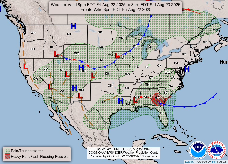
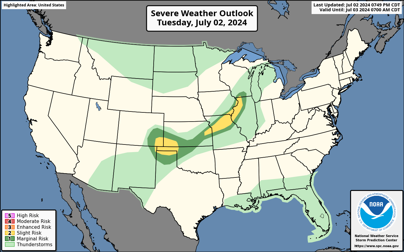
Current Severe Thunderstorm and Tornado Watches from the National Weather Service Storm Prediction Center


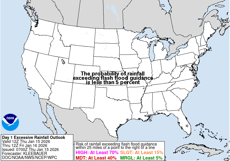

Hail Size Forecast for today and tomorrow

Wildfire Smoke Forecast for today and tomorrow

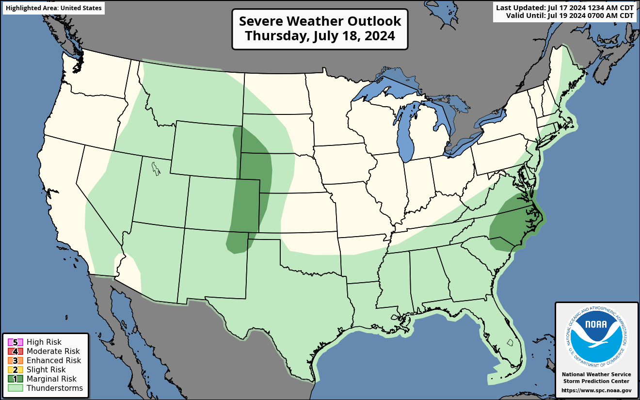
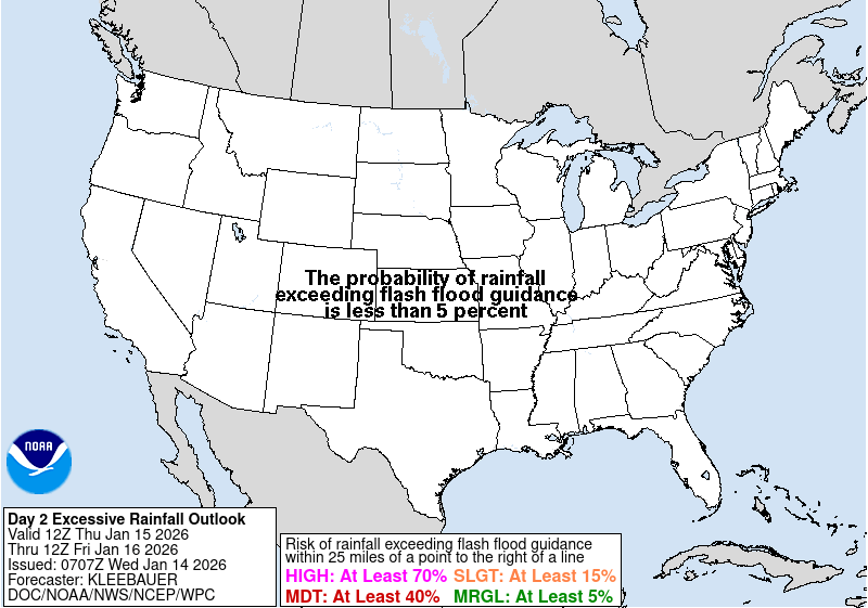
Graphics for Tomorrow
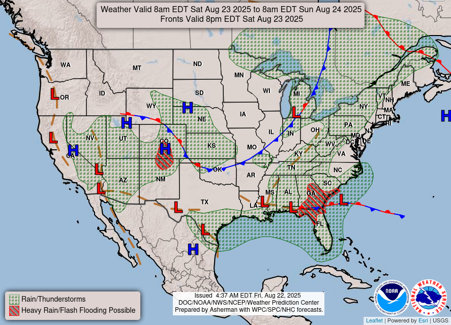

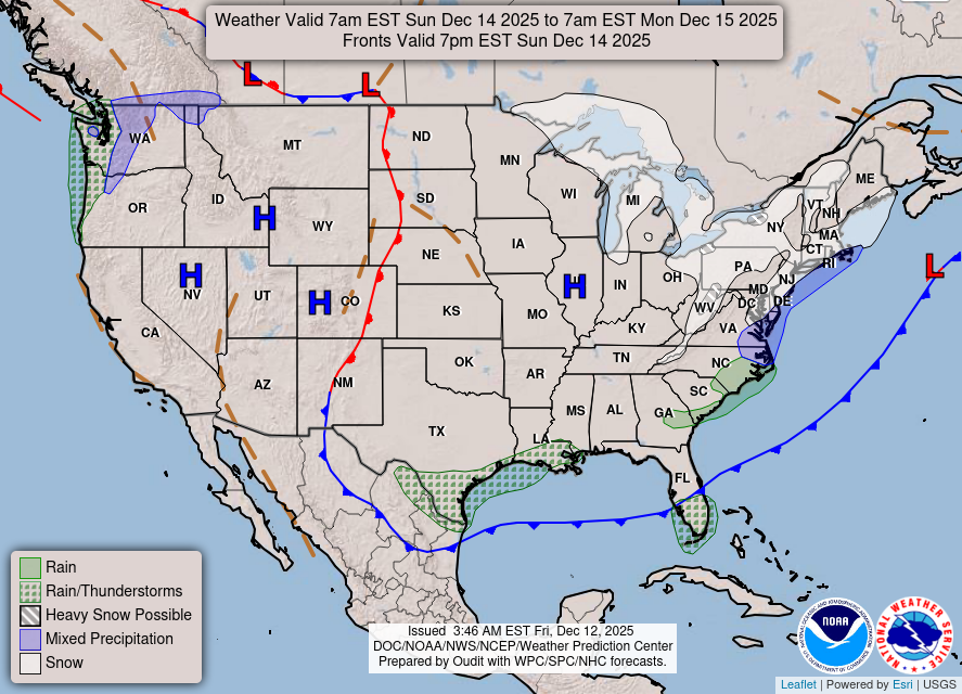
National Weather Map for the Day after Tomorrow
Three-day Summaries


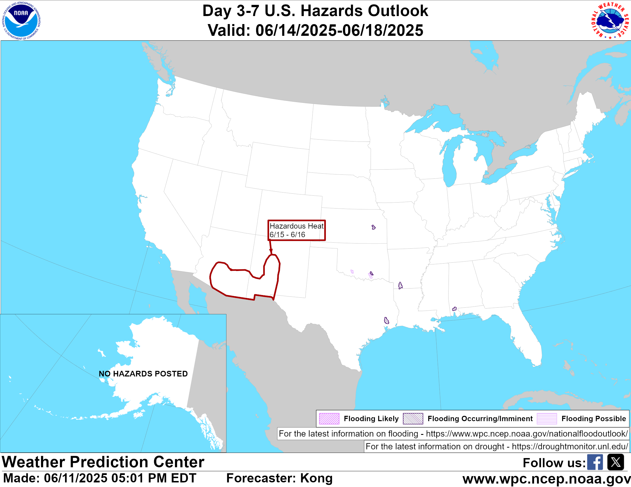
Day 3 – Day 7 U.S. Significant Weather Outlook
Access to real-time road information:
Phone numbers and websites for road conditions in all 50 states. Courtesy of the Cheyenne WY Weather Forecast Office
Some useful links:
Thank you for using RVWeather.