
Planning to travel this week? Here’s what could impact your route.
- Flash flooding and repeated heavy rain threaten Gulf Coast, Southern Plains, and Deep South travel today
- Severe storms expand across the Central Plains Saturday, with hail, damaging winds, tornado risk, and flooding
- Dangerous heat expected again today across southern Texas. Heat index in excess of 120 deg F.
Your route’s weather may vary from the general forecast — check your exact trip
48-hour access • No credit card required
Risk free – 30-day money-back guarantee
Significant travel weather for the next 2-3 days.
NEW: Extended forecast for the next 2 weeks now included!
Weather Impacts Pacific
— South-central and southeast Oregon: Red Flag Warnings this afternoon and tonight, with lightning risk and gusts up to 35 mph across the Klamath Basin, Fremont-Winema National Forest, southern grasslands, and Burns BLM areas. US-20, US-95, US-97, US-395 impacted.
— Northern California and southern Oregon: Red Flag Warnings today for the Shasta, Siskiyou, Modoc, Humboldt, Trinity, Klamath, and southern Cascades areas, with dry and wet thunderstorms, abundant lightning, and outflow gusts up to 35 to 40 mph creating rapid fire-growth potential and difficult travel near active fires or new starts. I-5, US-97, US-395, CA-3, CA-36, CA-89, CA-96, CA-139, CA-299 impacted.
— Nevada, northeast California, and northwest Arizona: Red Flag Warnings today and tonight for the Nevada basins, Surprise Valley, eastern Lassen County, northern Washoe County, the northern Sierra Front, and the Lake Mead/Colorado River corridor, with winds generally 20 to 25 mph and gusts from 35 mph to around 55 mph creating rapid fire-spread potential and hazardous smoke or fire-related travel changes. I-11, I-15, I-40, I-80, US-6, US-50, US-93, US-95, US-395 impacted.
— Southern California Antelope Valley: Wind Advisory this afternoon with winds 20 to 30 mph and gusts up to 45 mph. CA-14, CA-138 impacted.
Weather Impacts Mountain:
— Southwest Idaho highlands and Owyhee Mountains: Red Flag Warning this evening through midday Saturday, with lightning and outflow wind gusts to 45 mph. US-93, US-95 impacted.
— Eastern Wyoming and eastern Colorado: More organized severe thunderstorms are possible Saturday afternoon into Saturday evening, with large to very large hail, severe wind gusts, and tornadoes possible. The greatest risk of severe weather will be across eastern Colorado. I-25, I-70, I-76, I-80, I-90, US-6, US-14, US-16, US-18, US-20, US-24, US-26, US-30, US-34, US-36, US-40, US-50, US-56, US-85, US-160, US-212, US-287, US-385, US-400 potentially impacted.
— North-central Utah northern Wasatch Front and Salt Lake Valley: Heat Advisory this afternoon and tonight, with temperatures up to 97 degrees.
— West-central and southwest Utah deserts: Red Flag Warnings this afternoon and tonight, with gusts up to 35 mph. I-15, I-70, US-6, US-50, US-89 impacted.
— Eastern Colorado: A few strong to severe storms are possible today, with isolated gusty winds and hail the main concern. I-70, US-6, US-24, US-34, US-36, US-40, US-50, US-287, US-385 potentially impacted.
— Eastern Colorado: Scattered severe storms are possible Sunday that may contain damaging wind and hail. I-70, I-76, I-80, US-6, US-24, US-30, US-34, US-36, US-40, US-50, US-56, US-160, US-287, US-385, US-400 potentially impacted.
— Northwest Arizona deserts and plateau: Red Flag Warning this afternoon, with winds 20 to 25 mph and gusts to 35 mph. I-15, I-40, US-93 impacted.
Weather Impacts Central:
— Louisiana, Mississippi, Alabama, and the Florida Panhandle: Flood Watches and Flood Warnings continue today into the weekend, with prior rainfall of 4 to 8 inches common in parts of the region, local totals over 10 inches, 12 to 13 inches reported in Stone County, Mississippi, and several additional inches possible; high water, flooded low spots, and route delays are likely in the hardest-hit areas. I-10, I-12, I-20, I-55, I-59, I-65, US-29, US-43, US-45, US-49, US-61, US-84, US-90, US-98 impacted.
— Southwest Oklahoma and adjacent north-central Texas: FLASH FLOOD WARNINGS and Advisories with embedded SEVERE THUNDERSTORM WARNINGS continue this morning, with 1 to 3 inches already fallen in parts of the warned area, local totals of 2 to 5 inches overnight near Young County, and another 1 to 2 inches possible; high water in low spots and rapidly changing road conditions are the main RV travel concerns. I-20, I-44, US-70, US-82, US-90, US-180, US-183, US-277, US-281, US-287, US-380 impacted.
— Southern South Dakota, Nebraska, southern Iowa, northern, western and central Missouri, Kansas, northern and western Oklahoma, and the northern Texas Panhandle: Organized severe thunderstorms are possible Saturday afternoon into Saturday evening, with large hail, severe wind gusts, and tornadoes possible. The greatest risk of severe weather will be across southern Nebraska and northern Kansas. I-27, I-29, I-35, I-40, I-44, I-49, I-70, I-72, I-76, I-80, I-90 potentially impacted.
— Central and southeastern Minnesota into western Wisconsin: A few severe storms are possible today, mainly with gusty winds and some hail. I-35, I-35E, I-35W, I-39, I-90, I-94 potentially impacted.
— Southern Nebraska into north-central and northwestern Kansas: A few severe storms are possible today across the central Plains, with isolated hail and gusty winds possible. I-70, I-80, US-6, US-24, US-30, US-34, US-36, US-40, US-83, US-136, US-281, US-283 potentially impacted.
— Parts of Nebraska, Kansas, Oklahoma and adjacent northern Texas, Missouri, northern Arkansas, western Kentucky and Tennessee, and much of Illinois,: Scattered severe storms are possible Sunday, with damaging wind and hail affecting a broad central U.S. travel corridor. I-24, I-29, I-30, I-35, I-39, I-40, I-44, I-49, I-55, I-57, I-64, I-65, I-69, I-70, I-72, I-74, I-76, I-80 potentially impacted.
— Southeastern Oklahoma, southern Arkansas, central and northeastern Texas, and most of Louisiana, Mississippi, Alabama, and the Florida Panhandle: A few severe storms are possible today, with isolated damaging wind or hail risk and locally heavy rainfall. I-10, I-12, I-20, I-22, I-30, I-35, I-45, I-49, I-55, I-59, I-65, I-85 potentially impacted.
— Deep South Texas: Extreme Heat Warning this afternoon and evening, with peak heat index values of 112 to 121 degrees; Heat Advisory areas elsewhere in central, south-central, southeast, and east Texas continuing into Saturday, with heat index values up to 109 to 114 degrees. I-2, I-35, I-45, I-69, I-69C, I-69E, US-77, US-83, US-281 impacted.
— Southwestern Iowa, parts of Nebraska, western Missouri, and much of Kansas: Flash flooding is possible Saturday as thunderstorms produce heavy rainfall over the central Plains and lower Missouri Valley. The greatest flash-flood risk will be across southeastern Nebraska and north-central and northeast Kansas. I-29, I-35, I-44, I-49, I-70, I-80 potentially impacted.
— Southern Iowa, Illinois, Missouri, parts of Kansas, western Kentucky, western Tennessee, northern Oklahoma, and northern Arkansas: Flash flooding is possible Sunday. I-22, I-24, I-29, I-30, I-35, I-39, I-40, I-44, I-49, I-55, I-57, I-64, I-65, I-69, I-70, I-72, I-74, I-80, I-88, I-90, I-94 potentially impacted.
— Kansas and Missouri: Flood Watches begin Saturday evening and continue through Sunday evening, with thunderstorms capable of 2 to 3 inches of rain Saturday night into Sunday morning and flooding possible across eastern Kansas and western Missouri. I-29, I-35, I-49, I-70, US-36, US-50, US-56, US-59, US-63, US-65, US-77 impacted.
— Louisiana and Mississippi: Heat Advisories beginning late this morning through early evening, with heat index values up to 105 to 110 degrees across parts of Louisiana and central, south-central, southeast, and southwest Mississippi.
Weather Impacts Eastern:
— Southwest Virginia: Flood Advisory continues through late this morning, with 3 to 5 inches of rain over the last 12 hours creating high water in low-lying areas and slower travel. US-58 impacted.
— Central and southwest Georgia: Flood Watch through Saturday morning, with multiple rounds of rainfall, 1 to 3 inches already fallen, and another 1 to 2 inches or more possible through tonight. I-16, I-75, US-19, US-23, US-27, US-280 impacted.
— Eastern Kentucky: Fog through late morning, with visibility below one-quarter mile. I-75 impacted.
— Florida Peninsula: Heat Advisories today, with heat index values up to 110 to 111 degrees.
— Eastern North Carolina, eastern South Carolina, central and southern Georgia, and most of Florida: A few severe storms are possible today, with locally strong storms capable of damaging wind, hail, torrential rain, and isolated tornado potential. I-4, I-10, I-16, I-26, I-40, I-75, I-85, I-95 potentially impacted.
— Central and southern Indiana and central and southern Kentucky: Scattered severe storms are possible Sunday, with damaging wind and hail affecting afternoon and evening travel. I-64, I-65, I-69, I-70, I-71, I-74, I-75 potentially impacted.
— Indiana, much of Ohio, and central and western Kentucky: Flash flooding is possible Sunday. I-57, I-64, I-65, I-69, I-70, I-71, I-74, I-75, I-76, I-77, I-80, I-90, I-94 potentially impacted.
Outlook Sunday June 21st through Thursday June 25th:
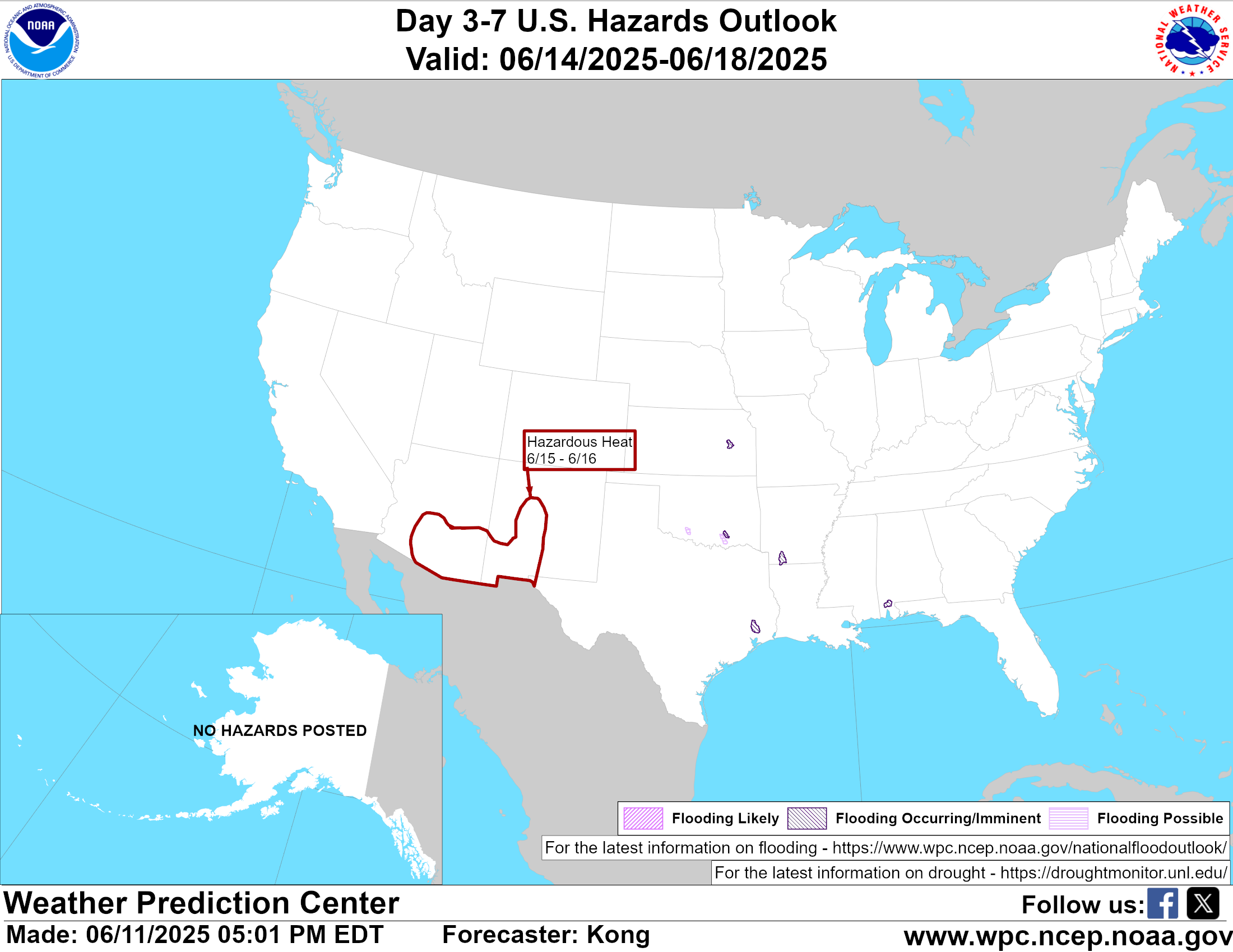
— Sunday, June 21: portions of southeastern New Mexico, south-central Oklahoma, and most of central and western Texas: Hazardous heat may create challenging conditions. Major highways potentially affected include I-10, I-20, I-30, I-35, I-40.
— Sunday, June 21: from the mid-Mississippi Valley, to the Lower Great Lakes, and Ohio Valley: Heavy rain may create localized flooding and reduced visibility. Major highways potentially affected include I-55, I-64, I-65, I-70, I-71, I-74, I-75, I-76, I-80, I-90, I-94.
— Sunday, June 21 through Thursday, June 25: most of the Florida Peninsula: Hazardous heat may create challenging conditions. Major highways potentially affected include I-4, I-10, I-75, I-95.
— Monday, June 22 through Tuesday, June 23: central Texas, portions of central Louisiana, southern Mississippi, and southwestern Alabama: Hazardous heat may create challenging conditions. Major highways potentially affected include I-10, I-20, I-35, I-55, I-65.
— Monday, June 22: from eastern Oklahoma through the Lower Mississippi and Tennessee Valleys into the central Appalachians: Heavy rain may create localized flooding and reduced visibility. Major highways potentially affected include I-30, I-40, I-55, I-64, I-65, I-75, I-79, I-81.
— Monday, June 22 through Wednesday, June 24: from eastern Texas across the Lower Mississippi Valley and Southeast: Hazardous heat may create challenging conditions. Major highways potentially affected include I-10, I-55, I-65, I-75, I-95.
— Monday, June 22 through Tuesday, June 23: eastern South Carolina, central and eastern North Carolina, and Tidewater Virginia: Hazardous heat may create challenging conditions. Major highways potentially affected include I-20, I-40, I-64, I-74, I-87, I-95.
— Monday, June 22: from eastern Pennsylvania into the northern Mid-Atlantic and southern New England: Heavy rain may create localized flooding and reduced visibility. Major highways potentially affected include I-76, I-80, I-81, I-84, I-87, I-90, I-91, I-95.
— Tuesday, June 23 through Thursday, June 25: Southern California Los Angeles County valleys and inland coast: Extreme Heat Watch, including the Santa Clarita Valley, San Fernando Valley, San Gabriel Valley, Highway 14 corridor, and inland Los Angeles County coast, with temperatures up to100 degrees. I-5, I-10, US-101, CA-1, CA-2, CA-14 potentially impacted.
Extended Outlook June 26th through July 2nd:
— Friday, June 26 through Sunday, June 28: much of Interior California, western and southern Arizona, small portions of southern Nevada, southern New Mexico, and western Texas: Extreme heat may develop, which could create challenging conditions. Major highways potentially affected include I-5, I-8, I-10, I-15, I-20, I-25, I-40, I-80.
— Friday, June 26 through Sunday, June 28: across parts of the northern Plains, Upper Midwest, Great Lakes, and lower Ohio Valley: Heavy precipitation may develop, which could create localized flooding and reduced visibility. Major highways potentially affected include I-29, I-35, I-55, I-64, I-65, I-70, I-71, I-74, I-80, I-90, I-94.
— Friday, June 26 through Thursday, July 2: most of the Florida Peninsula: Extreme heat may develop, which could create challenging conditions. Major highways potentially affected include I-4, I-75, I-95.
Forecast Confidence for the Extended Outlook:
Confidence is below average for the earlier part of the outlook, with uncertainty in system timing. Confidence decreases to much below average later in the outlook because the overall pattern becomes weaker and less well-defined.
Looking for real-time road conditions? Here’s a link, courtesy of the Federal Highway Administration, to all the individual State 511 websites.
Your route’s weather may vary from the general forecast — check your exact trip
48-hour access • No credit card required
Risk free – 30-day money-back guarantee
Selected travel-relevant Weather Graphics

Graphics for Today
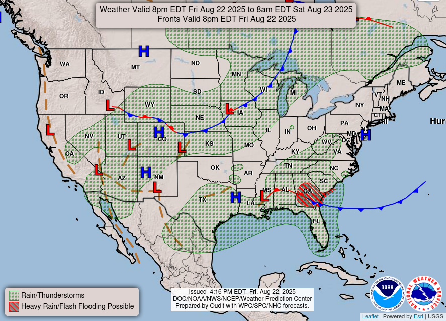
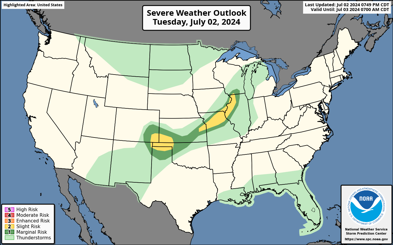
Current Severe Thunderstorm and Tornado Watches from the National Weather Service Storm Prediction Center


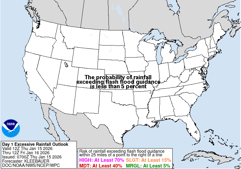

Hail Size Forecast for today and tomorrow

Wildfire Smoke Forecast for today and tomorrow

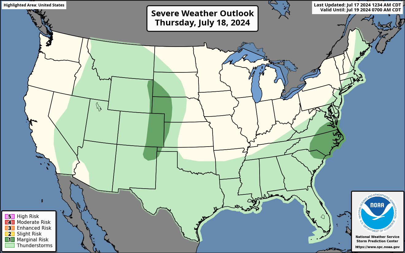
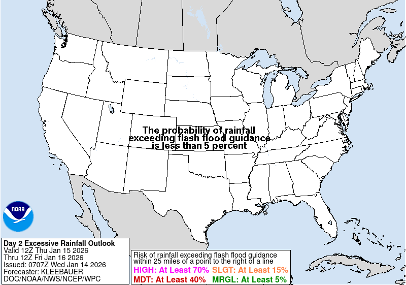
Graphics for Tomorrow
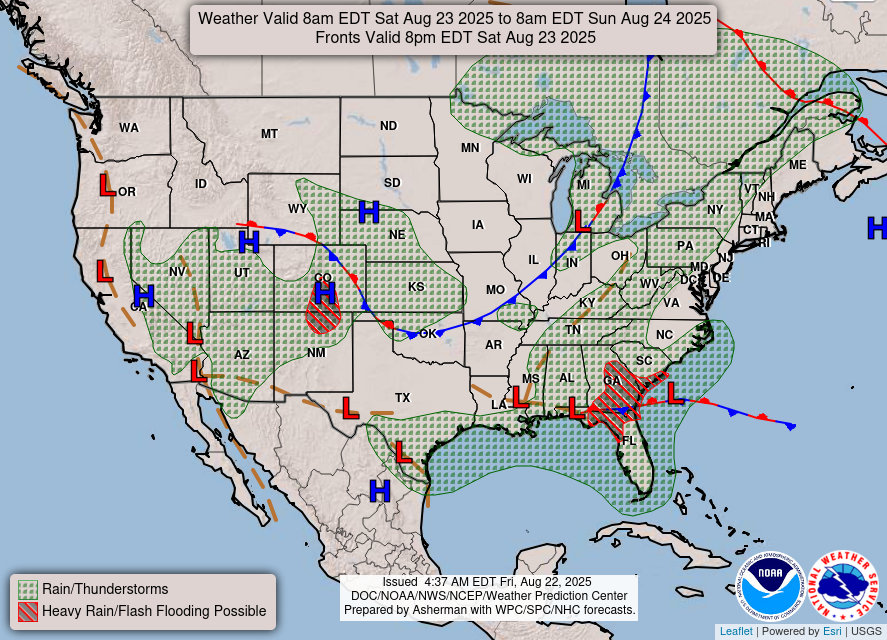

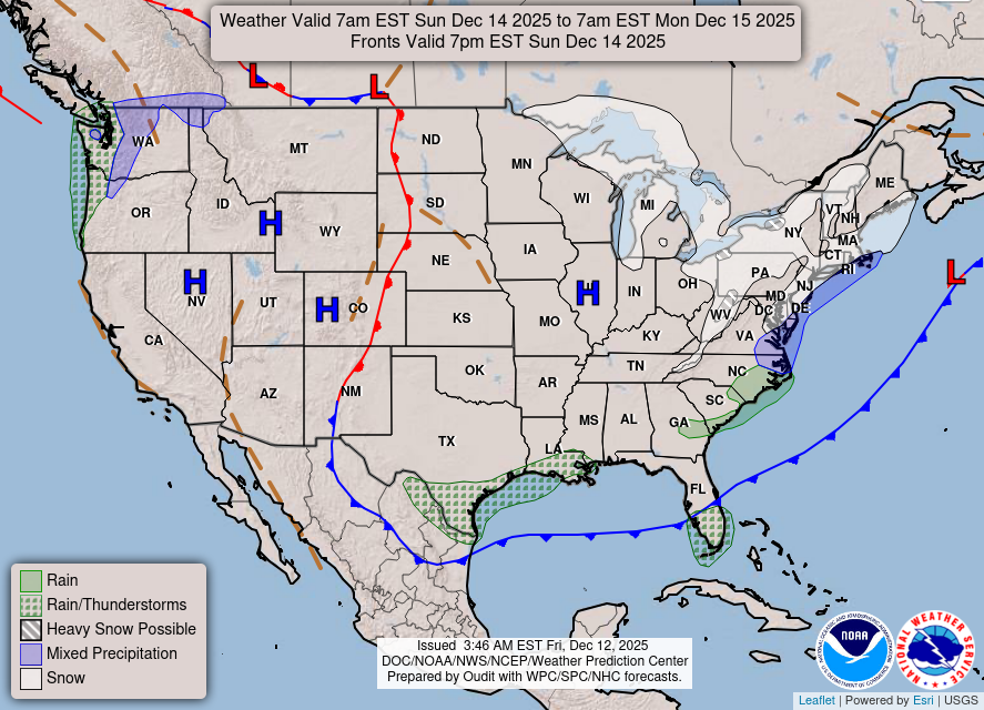
National Weather Map for the Day after Tomorrow
Three-day Summaries


Day 3 – Day 7 U.S. Significant Weather Outlook
Access to real-time road information:
Phone numbers and websites for road conditions in all 50 states. Courtesy of the Cheyenne WY Weather Forecast Office
Some useful links:
Thank you for using RVWeather.