
- High winds will impact portions of the US Northwest, Northern Rocky Mountains and portions of Northern Plains Friday afternoon through Saturday.
- Excessive Heat Warnings for the low-elevation California and Arizona deserts extend through Sunday.
- Tropical moisture may bring heavy rainfall to central and southern Florida by late weekend.
From the RV Weather Field Headquarters in State College PA:
These are the most significant weather impacts to RV travel over the next two to three days. I do not list every area of rain, showers, or breezy winds. It would be exhausting (for both of us!).
Weather Impacts Pacific Time Zone:
— Eastern WA: Frost Advisory this morning. Temperatures as low as 32 deg F.
— Northern OR Cascade Foothills: Red Flag Warning through this evening. Elevated fire danger with gusts up to 30 mph. I-84, US-20, US-26 impacted.
— Southwest OR Coast: Red Flag Warning through Friday. Elevated fire danger with gusts up to 35 mph. US-101 impacted.
— Much of southeast OR and far southwestern ID: Wind Advisory this afternoon through 8 PM Friday. Wind gusts up to 50 mph. US-20, US-95, US-97 impacted.
— Southeast OR, northeast CA, much of northern NV: Fire Weather Watch for Friday. Elevated fire danger with wind gusts 45 to 50 mph. Higher wind gusts possible. I-80, US-20, US-95 impacted.
— Central CA Inland and along the coast from Sacramento and Fresno to Bakersfield: Heat Advisory through Friday. Temperatures as high as 105 deg F.
— San Franciso and San Jose Metro area: Excessive Heat Warning through Friday. High temperatures up to 106 deg F.
— Southeast CA Death Valley NP: Excessive Heat Warning continues through Sunday. High temperatures 110-115 deg F.
— Much of southwestern California including Los Angeles and San Diego metro areas removed from the coastline: Excessive Heat Warnings and Heat Advisory through Friday evening.High temperatures from the upper-90s to 108 deg F.
— Southern CA Imperial Valley, southeast CA deserts, Colorado Valley along the NV/AZ/CA borders: Excessive Heat Warnings continues through Sunday. High temperatures 104-114 deg F.
— Southwest CA Interior Mountains: Red Flag Warning through this evening. Elevated fire danger with gusts to 40 mph. I-5, US-101 impacted.
Weather Impacts Mountain Time Zone:
— Much of northern MT east of the Rocky Mountain Front and into portions of northeast ID: High Wind Watches in effect Friday evening through Saturday morning. High wind gusts of 65 mph possible. High wind gusts will expand into northwestern WY as well. I-15, I-90, US-2, US-12, US-20, US-87, US-93 impacted.
— South-central MT, southeastern ID, much of WY, and north-central UT: Fire Weather Watch in effect Friday. Wind gusts 40 to 50 mph. I-15, I-25, I-80, I-84, I-90, US-20, US-30, US-40, US-89 potentially impacted.
— South-central and western AZ: Excessive Heat Warnings continues through Sunday evening. High temperatures 104-109 deg F.
Weather Impacts Central Time Zone:
— Eastern ND: Freeze Warning this morning. Temperatures as low as 30 deg F.
— Eastern and central ND, portions of northwestern SD: High Wind Watch in effect for Friday evening through Saturday evening. Wind gusts to 60 mph are expected. I-94, US-2, US-12, US-52, US-83, US-85 potentially impacted.
— South-central ND, much of central SD, northwestern NE: Watching for gusty winds Friday afternoon and evening. Wind gusts 30 to 40 mph are possible. I-90, I-94, US-20, US-83 potentially impacted.
— Central TN: Dense Fog Advisory through 9am this morning. I-24, I-40, I-65 impacted.
Weather Impacts Eastern Time Zone:
— Eastern TN, southwestern NC, eastern KY, southern OH, western WV: Dense Fog Advisory through 9-10am. I-40, I-64, I-75, I-77, I-79, I-81 impacted.
— Central PA, south-central NY: Dense Fog Advisory through 10am this morning. I-70, I-76, I-80, I-81, I-86, I-99 impacted.
— Central and southern FL peninsula: Heavier showers and thunderstorms may produce an isolated flash flood risk this afternoon and evening. I-4, I-75, I-95, US-17, US-19, US-27 potentially impacted.
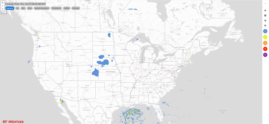
Graphics for Today


Current Severe Thunderstorm and Tornado Watches from the National Weather Service Storm Prediction Center


Graphics for Tomorrow


Three-day Summaries


Access to real-time road information:
Phone numbers and websites for road conditions in all 50 states. Courtesy of the Cheyenne WY Weather Forecast Office
Some useful links:
Thank you for using RVWeather.