



- The center of Hurricane Erin will remain east of the U.S. coastline but Tropical Storm and Storm Surge Watches are in effect for the Carolina coast. Expect strong winds, storm surge of 2–4 feet, and dangerous surf spreading north toward New Jersey and Cape Cod by midweek.
- Extreme heat continues across much of California, Nevada, Arizona, and the lower Mississippi Valley with widespread highs of 110–120°F and heat indices as high as 112°F, respectively.
- Storms and flooding are possible across multiple regions: strong to severe thunderstorms in South Dakota, Nebraska, Minnesota, Wisconsin, and into the Ohio Valley.
From the RV Weather Field Office in State College PA:
These are the most significant weather impacts to RV travel over the next two to three days. I do not list every area of rain, showers, or breezy winds. It would be exhausting.
Looking for real-time road conditions? Here’s a link, courtesy of the Federal Highway Administration, to all the individual State 511 websites.
Looking for wildfire smoke or hail forecasts? Click here, then scroll down to “High Resolution, Hourly Animations”. Or scroll down to the graphics below.
RV Weather’s Weather Hub has a complete collection of always updating weather graphics and forecasts.
Weather Impacts Pacific Time Zone:
— North-central and central NV: Red Flag (fire danger) Warning this afternoon and evening. Wind gusts near 30 mph. I-80, US-50 impacted.
— Central CA San Joaquin Valley; much of southern, southeast, and east-central CA; southern NV: A combination of Extreme Heat Warnings, Watches and Advisories Wednesday through Saturday. Widespread high temperatures 110-120° F. I-5, I-8, I-10, I-15, I-40 impacted.
— Southern CA Coastal mountains north and northwest of Los Angeles: Red Flag (fire danger) Warnings Wednesday through Saturday. The unseasonably hot and unstable airmass create the conditions for explosive wildfire behavior. Wind gusts 25-30 mph. I-5, CA-14 potentially impacted.
Weather Impacts Mountain Time Zone:
— Parts of western and north-central MT, including Glacier National Park: Slight chance of strong to severe thunderstorms, accompanied by severe wind gusts, developing this evening and continue into the overnight hours. I-15, I-90, US-2, US-89, US-93 potentially impacted.
— Eastern MT; portions of north-central WY; west-central and northwest ND: Heat Advisory today and Wednesday. High temperatures 95-105° F.
— Southwest UT: Extreme Heat Watch Thursday. High temperatures around 108° F. I-15 impacted.
— Eastern and southern AZ: Extreme Heat Warnings Wednesday through Saturday. High temperatures 101-113° F. I-8, I-10, I-17, I-19, I-40 impacted.
— AZ Grand Canyon below 4000 feet: Extreme Heat Warnings and Watches through Friday. High temperatures 101-113° F.
Weather Impacts Central Time Zone:
— West-central and northwest ND: Heat Advisories today and Wednesday. Heat index values around 100° F.
— North-central and central ND: Dense Fog Advisory this morning. I-94, US-2, US-52, US-83 impacted.
— Northern ND: Isolated severe thunderstorms are possible Wednesday late afternoon and early evening. US-2, US-52, US-83 potentially impacted.
— Central and eastern ND and SD; northwest MN: Isolated severe thunderstorms are expected on Thursday, with severe wind gusts and hail possible. I-29, I-90, I-94 potentially impacted.
— East-central SD; much of central, eastern and southern MN; northwest WI; northeast and southwest IA: Dense Fog Advisories this morning. I-29, I-35, I-80, I-90, I-94, US-10, US-14, US-20, US-30, US-53, US-60, US-61, US-63, US-71 impacted.
— Central and eastern OK; north-central and northeast TX; central and southern MO; southern IL; southwest IN; western KY and TN; AR; northern and southeast LA; most of MS; west-central and northwest AL: A combination of Extreme Heat Warnings, Watches and Advisories today. Heat index values from 107-112°F, with the highest values along and west of the Mississippi Valley.
Weather Impacts Eastern Time Zone:
— Tropical Storm Watches associated with Hurricane Erin are in effect from Cape Lookout NC northwards to the southern DELMARVA Peninsula. Wind gusts of 40 mph may reach the NC coast by Wednesday evening. Wind gusts 40-55 mph are likely along the immediate coast through Thursday. The Chesapeake Bay-Bridge Tunnel will likely be impacted later on Wednesday and Thursday. Check with the Bridge authorities for latest information: https://www.cbbt.com/weather/
— Coastal NC from Cape Lookout to Duck: Storm Surge Watch is in effect. Expect storm surge of 2-4 feet above the ground, beginning this morning. Follow any evacuation orders or recommendations given by your local emergency management officials. For the latest on NC evacuation warnings, see https://www.darenc.gov/Home/
— Coastal NJ to Cape Cod MA: Expect strong strong winds and dangerous ocean conditions through Friday morning. Peak wind gusts 40-50 mph Thursday and Thursday night.
— Central and southern IN; northwest and north-central KY; much of OH: Scattered strong thunderstorms, accompanied by locally strong to severe wind gusts, are possible this afternoon and evening. I-64, I-65, I-69, I-70, I-71, I-75, I-76, I-77, I-80, OH Turnpike potentially impacted.
Selected travel-relevant Weather Graphics


Graphics for Today

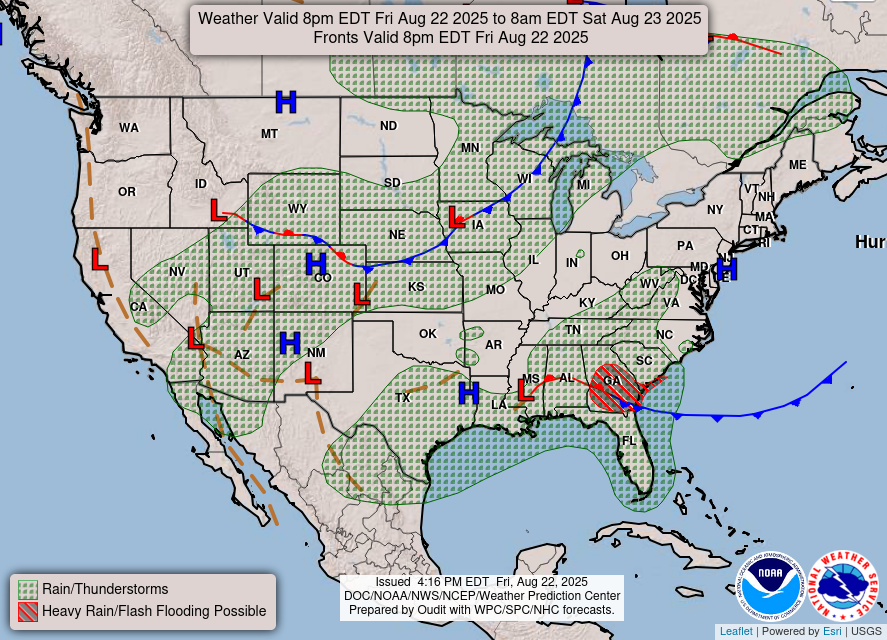
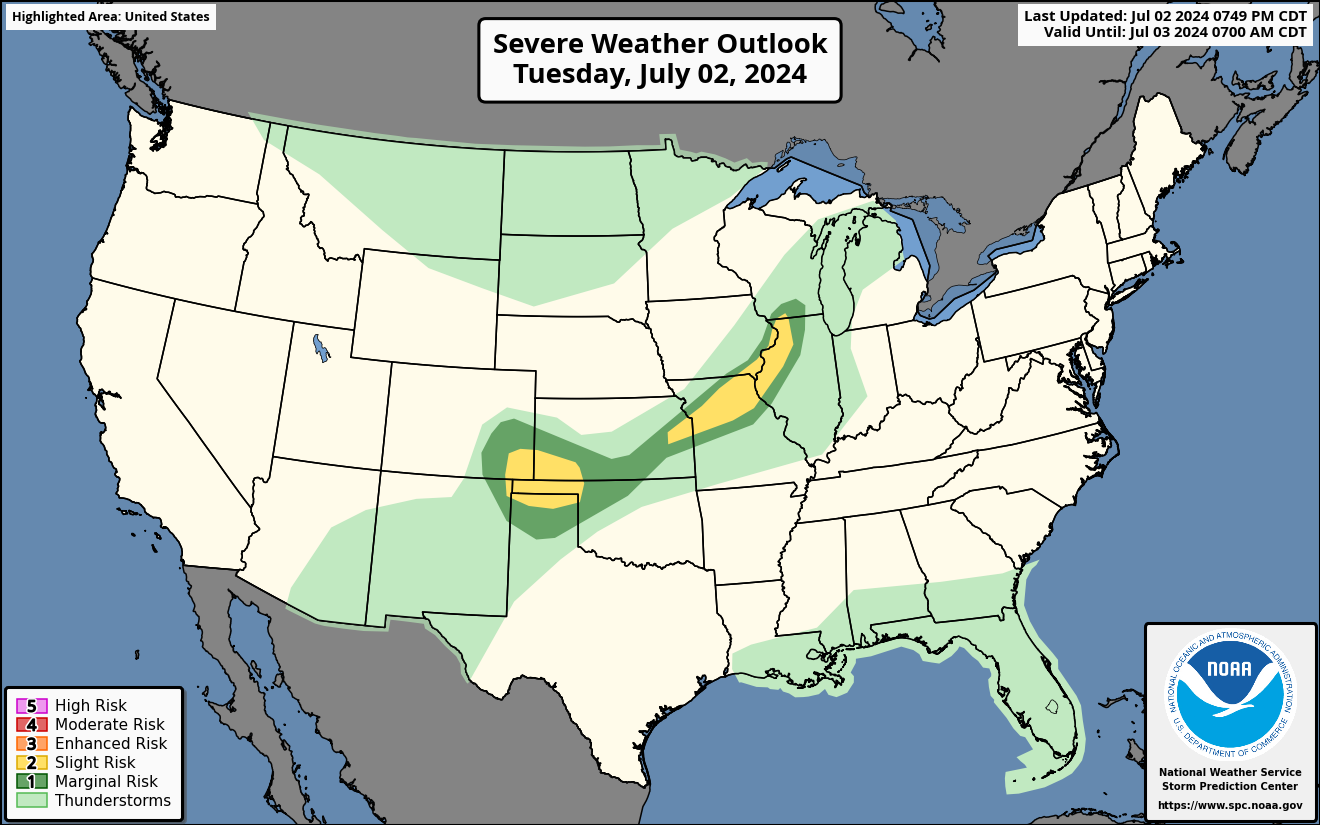
Current Severe Thunderstorm and Tornado Watches from the National Weather Service Storm Prediction Center




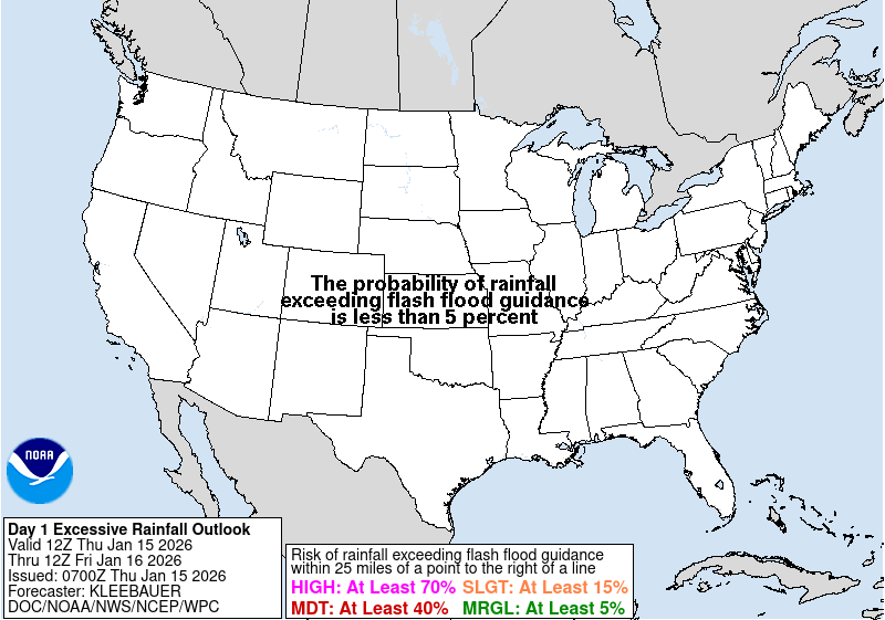

Hail Size Forecast for today and tomorrow

Wildfire Smoke Forecast for today and tomorrow

Graphics for Tomorrow
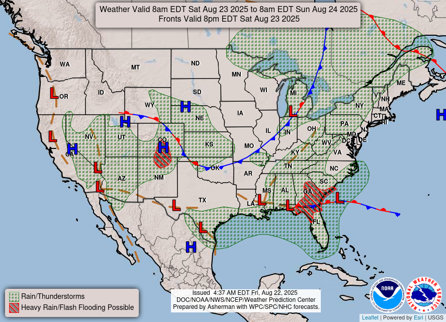
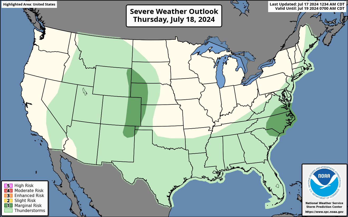
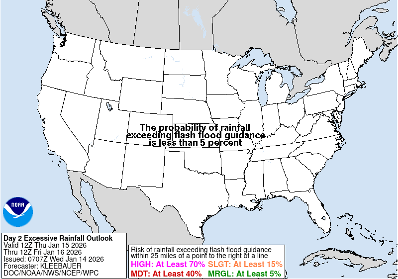

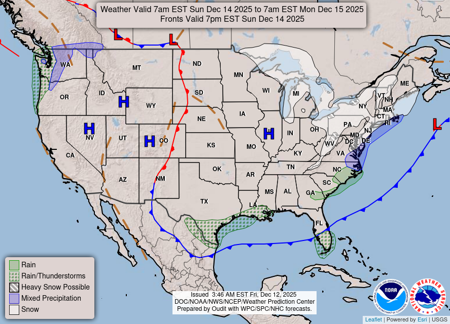
National Weather Map for the Day after Tomorrow
Three-day Summaries


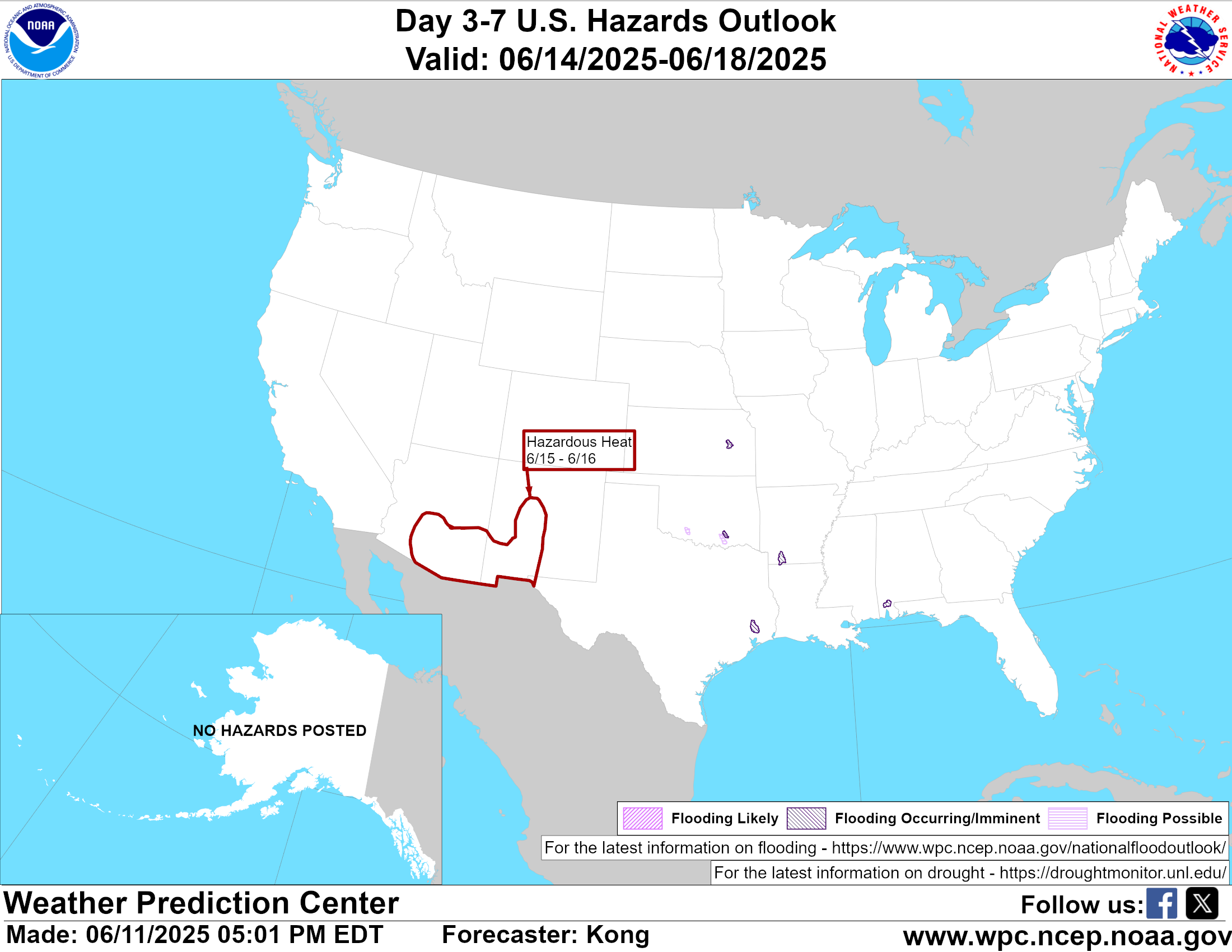
Day 3 – Day 7 U.S. Significant Weather Outlook
Access to real-time road information:
Phone numbers and websites for road conditions in all 50 states. Courtesy of the Cheyenne WY Weather Forecast Office
Some useful links:
Thank you for using RVWeather.