
- Heat wave continues for much of California, the Great Basin, into the northern Rockies and northern High Plains. Temperatures will ease back this weekend.
- Strong to marginally severe thunderstorms possible today across the Mid-Atlantic States and across the eastern Great Lakes region on Wednesday.
- Heavy rains with some flooding potential through Thursday along the Texas coast.
From the RV Weather Field Office in State College PA:
These are the most significant weather impacts to RV travel over the next two to three days. I do not list every area of rain, showers, or breezy winds. It would be exhausting (for both of us!).
Weather Impacts Pacific Time Zone:
— Portions of central WA; north-central OR and eastern Columbia Gorge: Strong winds Wednesday evening into Wednesday night. Gusts to 35 mph. I-82, I-84, I-90, US-2, US-12, US-97 impacted.
— Much of east-central and southeast OR; northern and west-central NV: Excessive Heat Warnings and Advisories today and Wednesday. High temperatures 100- 106 deg F.
— Portions of south-central OR and northeast CA: Strong winds Wednesday afternoon and evening. Gusts 30-35 mph. US-97, US-395 impacted.
— Much of northern and central CA west of the Sierra Nevada and south of Redding: Excessive Heat Warnings and Advisories through Thursday. High temperatures 100-112 deg F.
— East-central CA including Mono Lake; portions of west-central NV: Flood Watch this afternoon through Wednesday evening. Multiple, heavy, slow-moving rain showers and thunderstorms may result in flooding of burn scars, creeks and streams, and other flood-prone locations. US-6, US-95, US-395 potentially impacted.
— Southern CA foothills and mountains away from the immediate coast: Heat Advisories Wednesday and Thursday. High temperatures 90 to 100 deg F.
— Interior southern CA; and southeast CA interior deserts and east of the Sierra Nevada, including the Mojave Desert and Death Valley National Park; southern NV; adjacent northwest AZ: Excessive Heat Warnings through Friday. High temperatures 107 – 118 deg F with temperatures reaching the mid-120’s deg F in Death Valley NP. I-8, I-10, I-15, I-40, US-395, CA-14, CA-58 impacted.
Weather Impacts Mountain Time Zone:
— Northwest MT; northern and central ID: Heat Advisories through Wednesday. High temperatures generally 95-100 deg F.
— Northwest MT east of the Rocky Mountain Front: Red Flag (fire danger) Warning this afternoon through Thursday. Wind gusts to 45 mph. I-15, US-2 potentially impacted.
— Much of central and eastern MT: Excessive Heat Watches and Advisories through Thursday. High temperatures 100-110 deg F. I-90, I-94, US-2 US-12 impacted.
— Much of southern ID; northwest UT; central UT I-70 corridor: Excessive Heat Warnings (I-84 corridor southwest ID) and Advisories through Wednesday. High temperatures 100-105 deg F.
— Portions of west-central and northwest AZ: Excessive Heat Warnings through Wednesday. High temperatures 106-117 deg F. I-40, US-93 impacted.
Weather Impacts Central Time Zone:
— Western ND: Heat Advisories Wednesday. High temperatures up to 102 deg F.
— Portions of south-central TX: FLASH FLOOD WARNING this morning. Up to 4 inches of rain have fallen and an additional 3 inches of rainfall is possible this morning. Flash flooding is ongoing or imminent. US-277, US-377 impacted.
— Much of the TX coast: Heavy rainfall through Thursday. Many locations will see 2-6 inches of rain and likely flooding. I-10, I-37, I-45, I-69, US-77 potentially impacted.
Weather Impacts Eastern Time Zone:
— Eastern KY; southern WV; much of central and southern VA; northwest and north-central NC: Strong to possibly severe thunderstorms this afternoon and evening. I-26, I-40, I-64, I-75, I-77, I-79, I-85, I-95 potentially impacted.
— Northern OH; western and northern PA; much of western, central and northern NY: Isolated strong to severe thunderstorms may produce damaging wind gusts Wednesday afternoon and evening. I-71, I-75, I-76, I-77, I-79, I-80, I-81, I-86, I-87, I-88, I-90, PA and OH Turnpikes, NY Thruway potentially impacted.
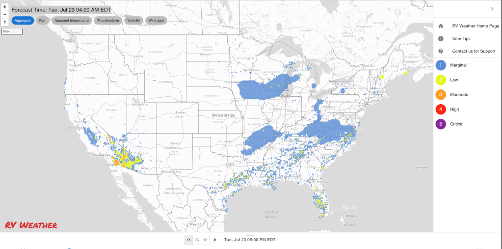
Graphics for Today


Current Severe Thunderstorm and Tornado Watches from the National Weather Service Storm Prediction Center


Graphics for Tomorrow


Three-day Summaries


Access to real-time road information:
Phone numbers and websites for road conditions in all 50 states. Courtesy of the Cheyenne WY Weather Forecast Office
Some useful links:
Thank you for using RVWeather.