- Remnants of Francine continue to produce heavy rains with the potential for significant flooding across northern Alabama into Tennessee. An isolated tornado or two is also possible across this region.
- Strong winds across the eastern Dakotas.
- There is some chance for the next tropical system to develop along the Carolina coast early next week. RVer’s traveling to or staying in this region should monitor the forecasts.
From the RV Weather Field Headquarters in State College PA:
These are the most significant weather impacts to RV travel over the next two to three days. I do not list every area of rain, showers, or breezy winds. It would be exhausting (for both of us!).
Weather Impacts Pacific Time Zone:
— South-central OR: Freeze Warning through mid-morning. Low temperatures in the upper 20’s.
Weather Impacts Mountain Time Zone:
— Portions of east-central ID and western MT: Winter Weather Advisories continue through early this morning. Total accumulations of 3-6 or more inches of snow probable. US-93, Logan Pass (Going to the Sun Road) impacted. I-15 and I-90 (including Lookout Pass) should remain snow-free.
— North-central and northeast MT: Strong winds today. Wind gusts 30-40 mph. US-2 impacted.
— Central WY: Strong winds Saturday afternoon and evening. Wind gusts to 30 mph. US-20, US-26, US-287 impacted.
Weather Impacts Central Time Zone:
— Northwest ND: Strong winds this afternoon and evening. Gusts to 40 mph. US-2, US-85 impacted.
— Eastern ND and SD; northwest MN: Strong winds through this afternoon. Wind gusts 30-45 mph. Strongest winds this morning. I-29, I-90, I-94, US-2, US-12, US-14, US-52, US-83 impacted.
— Southeast ND: Strong to marginally severe thunderstorms possible late this afternoon and evening. I-94, US-52 potentially impacted.
— Parts of western and south-central TN; northeast MS; central and northern AL: Flood Watches continue through Saturday morning, associated with the remnants of Francine. Storm totals of 3-6 inches of rainfall will be common, with some localized areas seeing as much as 8-10 inches of rainfall under the heaviest rain bands. Significant Flooding possible, especially across northern AL. I-20, I-22, I-40, I-59, I-65, I-85 potentially impacted.
— Central TN; northern, central and eastern AL; western GA; FL Panhandle: Isolated tornadoes possible today. Isolated severe wind gusts also possible across the FL Peninsula and AL. I-10, I-20, I-22, I-59, I-65, I-75, I-85 potentially impacted.
Weather Impacts Eastern Time Zone:
— Eastern TN: Wind Advisory continues this morning. Wind gusts to 50 mph. I-26, I-40 impacted.
— Carolina Coasts from Myrtle Beach to Cape Hatteras: A non-tropical area of low pressure is producing some heavy rain showers and squally conditions. Unsettled weather is expected to continue through mid-week. There is some chance this system may develop into a tropical system early next week. RVers heading to or staying along the Carolina coasts next week should monitor the forecasts.
— West-central and northwest GA: Flood Watches continue through Saturday morning. An additional 1-3 inches of rain possible. I-20, I-59, I-85 potentially impacted.
— Western GA; FL Panhandle: Isolated tornadoes and severe wind gusts possible today, associated with the remnants of Francine. I-10, I-16, I-20, I-59, I-75, I-85 potentially impacted.
— Coastal northeast FL: Flood Watch continues through this evening. An additional 1-2 inches are possible. I-10, I-95 potentially impacted.
— Southern FL: Heat Advisory today. Heat index values may reach 107-111 deg F.
Graphics for Today


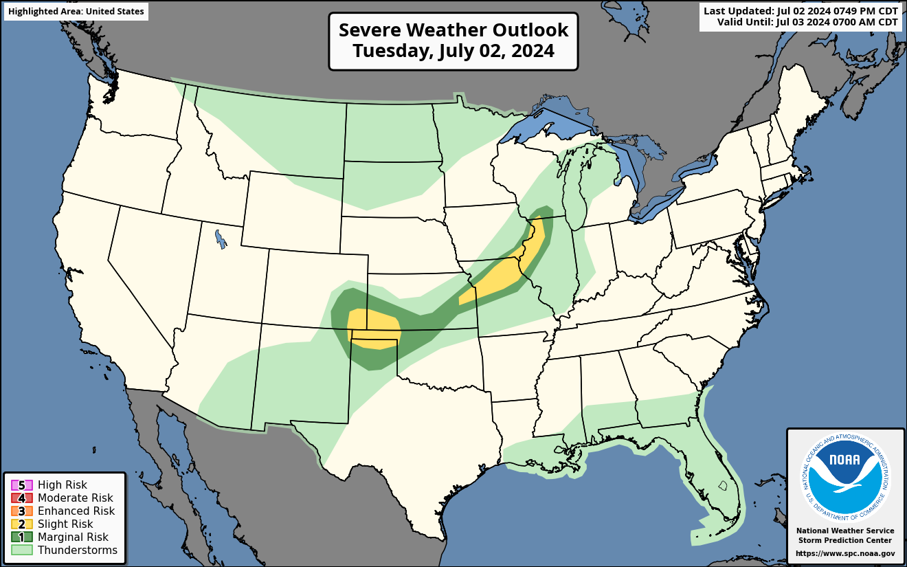
Current Severe Thunderstorm and Tornado Watches from the National Weather Service Storm Prediction Center


Graphics for Tomorrow

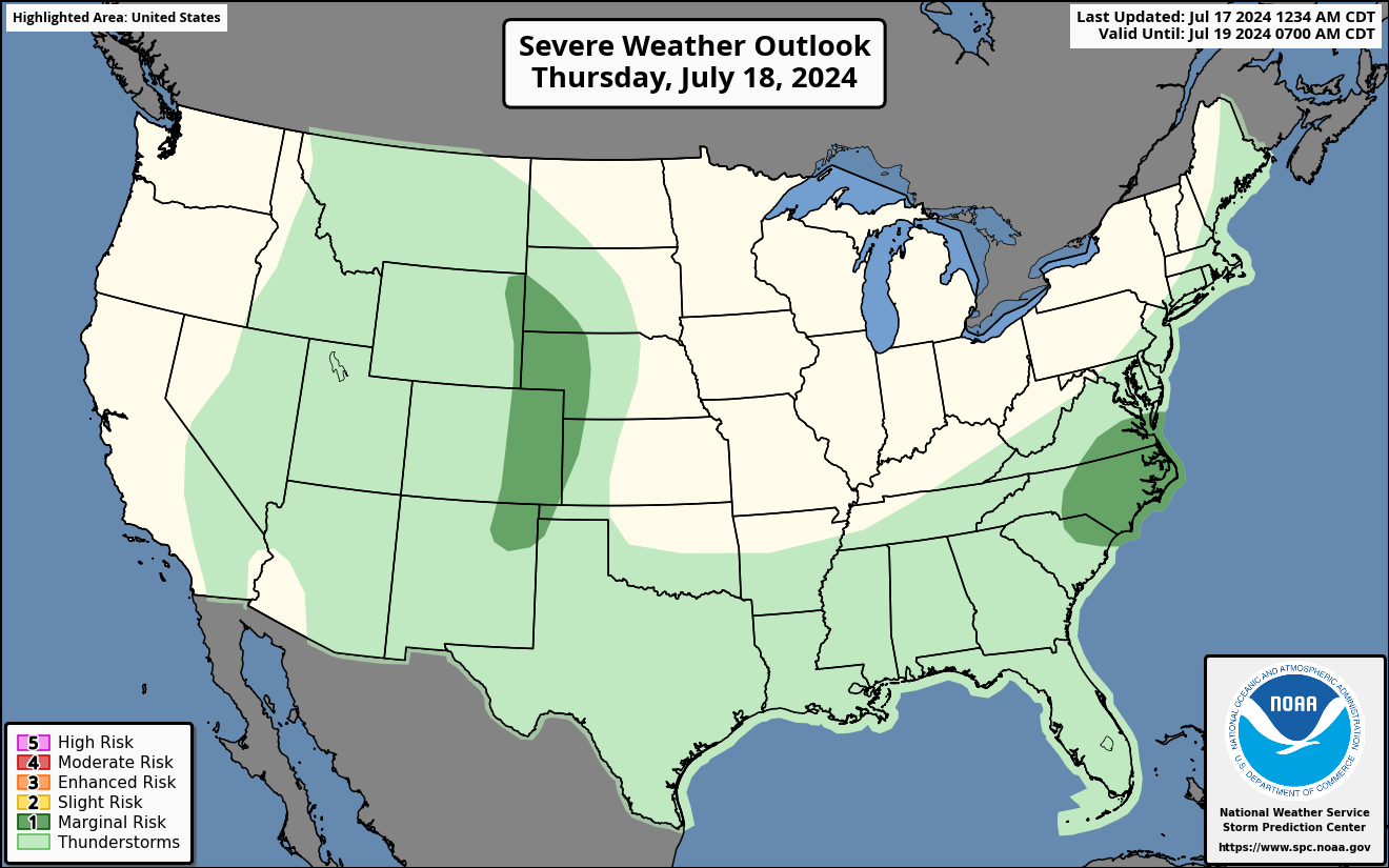


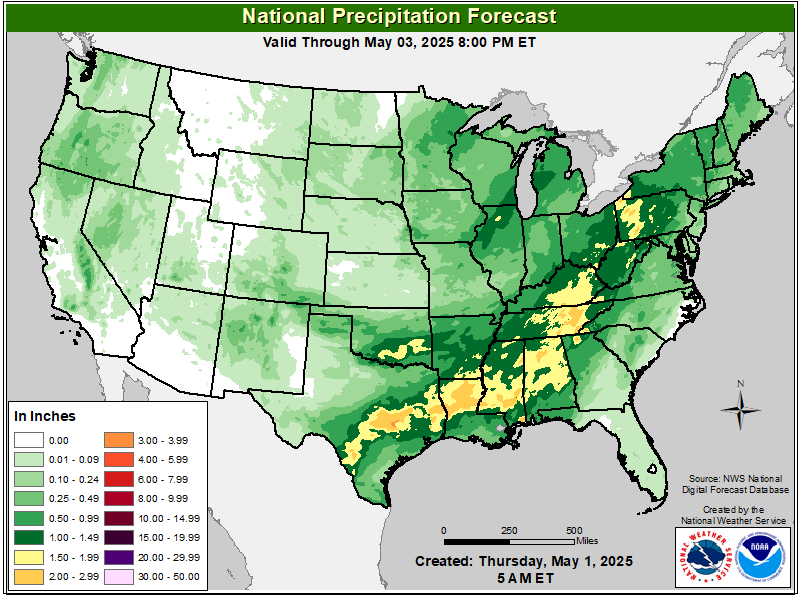
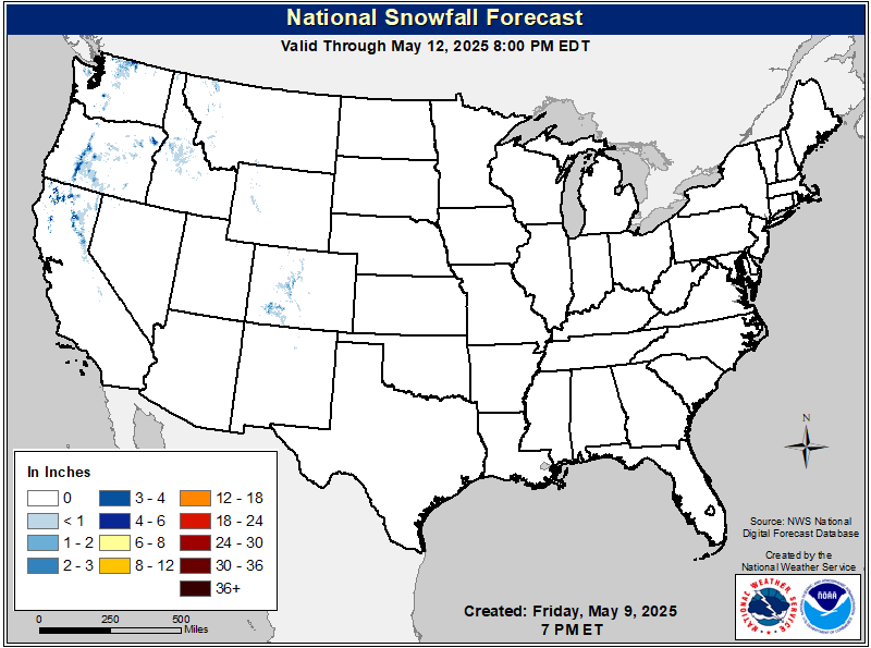
Three-day Summaries
Access to real-time road information:
Phone numbers and websites for road conditions in all 50 states. Courtesy of the Cheyenne WY Weather Forecast Office
Some useful links:
Thank you for using RVWeather.
