
- Next Pacific storm moves into Washington and Oregon starting late this afternoon.
- Snow and high winds in Wyoming taper off this morning, but resume on Sunday.
- Some gusty winds this afternoon and tonight from the mid-Mississippi Valley to New England.
Delivered to your in-box each morning.
Starting Monday morning, 27 November, this site will be down for a major upgrade. RVWeather.com will return no later than Wednesday 29 November — sooner if possible. When the site returns, WILMA, our NEW(!) integrated weather impacts product, will be available. The Paywall will also be implemented. RV Weather will continue to provide free access to essential, RV-relevant National Weather Service Warnings and Advisories, current weather, and weather safety information. While the main site is off-line, I will post a simple forecast to my email list and to RVWeather on Facebook.
From the RV Weather Winter Office in State College PA:
These are the most significant weather impacts to RV travel over the next two to three days. I do not list every area of rain, showers, or breezy winds. It would be exhausting (for both of us!). Please check out the animations and graphics for a good depiction of the weather along your route.
Pacific:
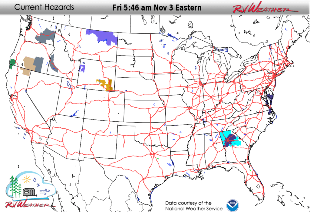
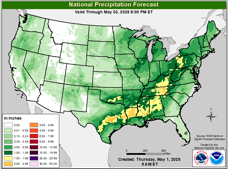
— Western WA and OR: Heavy rains start late this afternoon and continue through Saturday. I-5, I-84, I-90, US-101 impacted.
— Western WA; western and central OR; northeast CA; northwest NV: Strong winds move in from the Coast tonight and spread eastwards on Saturday. Wind gusts 35-45 mph. I-5, I-82, I-84, I-90, US-101, US-395 impacted.
— South-central and southeast WA: Dense Fog Advisories through midday today. I-82, I-90, US-395 impacted.
— Portions of southeast OR: Dense Fog Advisories through midday today. US-20, US-395 impacted.
— Portions of south-central OR and adjacent northwest CA: Wind Advisory late Saturday morning into Saturday night. Gusts to 50 mph. US-395 impacted.
— Portion of southwest OR and northwest CA over the Smith River Complex burn scar: Flash Flood Watch this evening through Saturday afternoon. 2-4 inches of rain may trigger flash flooding and debris flow in the vicinity of this burn scar. US-199 potentially impacted.
Mountain:
— Portions of southwest ID: Dense Fog Advisory through midday today. I-84 impacted.
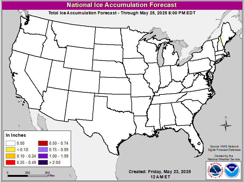
— North-central and northeast MT: Winter Weather Advisory through midday today for a mixture of snow, sleet and freezing rain. Up to an inch of snow and a glaze of ice possible. US-2 impacted.
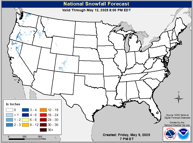
— Northwest WY Teton and Gros Ventre Mountains: Winter Weather Advisory through midday today above 8000 feet. An additional 4-6 inches of snow possible. Teton and Togwotee Passes impacted. US-26, WY-22 impacted.
— MT Rocky Mountain Front and central MT: Strong winds today. Gusts 30-45 mph. I-15, I-90 impacted.
— Southeast WY: High Wind Warnings and Watches continue through mid-morning. Wind gusts 60-65 mph. I-25, I-80 impacted.
Central:
— West-central, central and northeast MO; central IL: Strong winds late late this morning through mid-afternoon. Some gusts to 30 mph. I-39, I-55, I-57, I-70, I-74 impacted.
— South-central TX: Dense Fog and low visibility likely Saturday morning. I-10, I-35, I-37 potentially impacted.
Eastern:
— Central and northern IN; northwest OH; southern and central MI: Strong winds late this morning to mid-afternoon. Some gusts to 30 mph. I-65, I-69, I-74, I-75, I-80, I-90, I-94, IN Toll Rd, OH Turnpike, NY Thruway impacted.
— Portions of western and northern NY; northern VT; coastal and eastern ME: Strong winds tonight. Gusts 30-35 mph. Strongest winds in the higher terrain of the Adirondack and Green Mountains. I-81, I-86, I-89, I-90, I-95, NY Thruway impacted.


Current Severe Thunderstorm and Tornado Watches from the National Weather Service Storm Prediction Center

Two-day tropical weather outlook from the National Hurricane Center

Tornado safety information for RVers (what to do!):
Access to real-time road information:
Phone numbers and websites for road conditions in all 50 states. Courtesy of the Cheyenne WY Weather Forecast Office
Some useful links:
Thank you for using RVWeather.