WYDOT Snowplow plowing snow and slush on US-89 April 2022

Weather at a Glance

Map displaying current weather hazards across the United States, including excessive heat warnings, flood watches, and severe thunderstorm warnings.
Current travel-relevant National Weather Service Warnings, Watches and Advisories

Graphics for Today

Weather map showing severe thunderstorm and tornado watch areas across the U.S. for August 1-2, 2025, including warnings for heavy rain and flash flooding.
National weather map for today..
Weather outlook map showing severe thunderstorm risk levels across the United States for August 1, 2025.
Severe thunderstorm risk today and tonight.

Current Severe Thunderstorm and Tornado Watches from the National Weather Service Storm Prediction Center

Map of the United States indicating 'No Watches In Effect' for severe weather, issued by the National Weather Service.
Click on graphic for details. Blue is winter weather; red is severe thunderstorms.
Click on graphic for details. Green is for heavy rainfall and potential flooding.
Satellite image showing the Atlantic and Eastern Pacific regions with no disturbances and a note stating that tropical cyclone activity is not expected during the next 48 hours.
Map showing the Day 1 Excessive Rainfall Outlook with areas marked for risk levels including MRGL, SLGT, and MDT across the United States.
Excessive and Flash Flood Risk for today and tonight.
Weather map showing projected wind gusts across the United States for the afternoon, with regions highlighted in different colors indicating varying wind speeds.

Hail Size Forecast for today and tomorrow

Map showing forecasted hail size across the United States for August 1.
Hail Size (inches) forecast for the next 2 days.

Wildfire Smoke Forecast for today and tomorrow

Map displaying wildfire smoke distribution across the United States for August 1, highlighting varying concentrations with color gradients.
Wildfire smoke forecast for the next 2 days.

Graphics for Tomorrow

Weather map showing severe thunderstorm threats, heavy rain, and flash flood warnings across the United States for August 2-3, 2025.
National weather map for tomorrow.
Severe weather outlook map for August 2, 2025, showing areas of risk across the United States, with a highlighted region indicating enhanced risk for severe thunderstorms.
Severe thunderstorm risk tomorrow and tomorrow night.
Map showing the Day 2 Excessive Rainfall Outlook for the U.S. Valid from August 2, 2025, with color-coded risk areas indicating the potential for rainfall exceeding flash flood guidance.
Forecast map showing wind gusts across the United States for the afternoon of tomorrow, with color-coded wind speed indicators and major roadways outlined in red.

National Weather Map for the Day after Tomorrow

Weather map showing severe thunderstorm warnings, flash flood risks, and weather fronts across the United States for August 3, 2025.
National weather map for the day after tomorrow.

Three-day Summaries

National precipitation forecast map showing varying rainfall amounts across the United States, with color-coded indications of precipitation levels in inches.
Total rainfall amounts for the next three days
Map showing the National Snowfall Forecast for the United States through August 4, 2025, indicating expected snowfall amounts in inches across various regions.
Total snowfall amounts for the next three days
U.S. map showing the National Ice Accumulation Forecast with various color-coded bands indicating ice accumulation levels through August 3, 2025.
Freezing rain (ice) accumulations for the next three days.

Extended Outlooks

U.S. Hazard Outlook map indicating areas affected by hazardous heat and heavy rain, valid from August 3 to August 7, showing regions in red for hazardous heat and green for heavy rain.


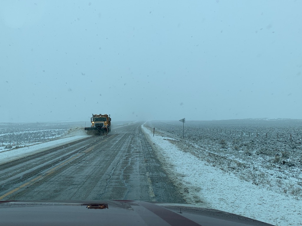
Access to real-time road information:

Phone numbers and websites for road conditions in all 50 states. Courtesy of the Cheyenne WY Weather Forecast Office