- Heat migrates from the West to the Central U.S. and then to the Northeast by the latter part of the week.
- Drier week than normal, but some heavier rains possible by the end of the week around the southern Great Lakes region.
- Cooler than normal this week for the Pacific Northwest; cooler than normal next week for New England.
Extended outlooks are more general in nature and higher level than the daily short term forecasts. Beyond a week, there is often significant uncertainty in the location and intensity of specific weather events. I will note where there is less, or greater, confidence than normal in these extended outlooks.
Starting Monday morning, 27 November, this site will be down for a major upgrade. RVWeather.com will return no later than Wednesday 29 November — sooner if possible. When the site returns, WILMA, our NEW(!) integrated weather impacts product, will be available. The Paywall will also be implemented. RV Weather will continue to provide free access to essential, RV-relevant National Weather Service Warnings and Advisories, current weather, and weather safety information. While the main site is off-line, I will post a simple forecast to my email list and to RVWeather on Facebook.
Click here for animations of the coming week’s weather.
From the RV Weather Summer Office in Colter Bay Wyoming
Big Picture for the coming week and next weekend:
- Heat migrates from the West to the Central U.S. and then to the Northeast by the latter part of the week.
- Drier week than normal, but some heavier rains possible by the end of the week around the southern Great Lakes region.
- Cooler than normal this week for the Pacific Northwest; cooler than normal next week for New England.
Temperature and Precipitation Outlook:
- Warmer than normal east of a line from central California to northeast Montana (that is, much of the country).
- Cooler than normal for the Pacific Northwest.
- Wetter than average for western Washington, northwest Oregon, the northern Plains and the southern Great Lakes region.
- Drier than average south of a line from northwest Montana to southern Illinois to New York City.
Highlights by day (25 – 30 July):
- Tuesday:
- Strong winds over northwest Montana and northwest Wyoming.
- Record high temperatures possible for the Southwest, the western High Plains from Montana to Texas, and the Florida Peninsula.
- Marginal risk of severe thunderstorms over the northern Plains.
- Wednesday:
- Strong winds over northwest Montana and northwest Wyoming and southeast Idaho.
- Record high temperatures possible for southern High Plains, the northern Gulf Coast, and the Florida Peninsula.
- Thursday:
- Strong winds southeast Idaho, northwest Wyoming, and southern Minnesota.
- Record high temperatures possible for the Mid-Atlantic region and the Northeast.
- Friday:
- There will be potential for severe thunderstorms across the Upper Midwest.
- Heavy rains possible across the southern Great Lakes region.
- Record high temperatures possible for the Mid-Atlantic region and the Northeast.
- Saturday:
- There will be potential for severe thunderstorms across the Upper Midwest.
- Heavy rains possible for eastern Ohio, western Pennsylvania, and northern West Virginia.
- Record high temperatures possible for the Florida Peninsula.
- Sunday:
- Rain and rain showers for the Midwest, Ohio Valley, and Northeast.
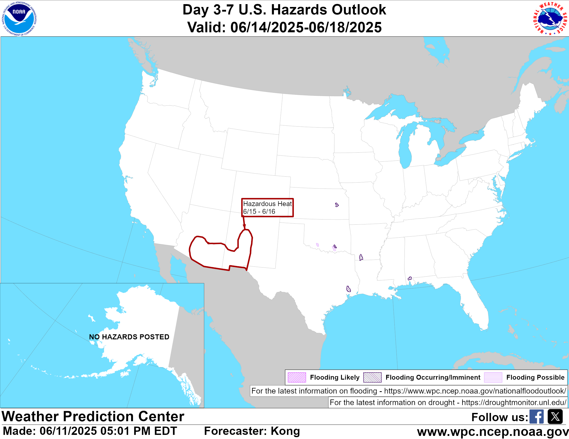
- Click here for the latest National Weather Service 3-7 Day outlook
Tropical Outlook:
- Slight (30%) chance a new storm may form in the tropical western Atlantic just east of the Caribbean Sea early this coming week. Too soon to tell if there will be any impacts to the U.s.
Outlook into early and mid-August (a 2-4 week outlook is by definition low confidence!):
- Drier than normal over the Southeast; wetter than normal for the Northwest.
- By mid-August, drier than normal for the Upper Midwest.
- Warmer than normal for the West, the northern Plains, and the South.
- Cooler than normal for the Northeast.
- By mid-August, warmer than normal for the entire country, except the Florida Peninsula and New England.
Don’t miss a forecast update! Sign up to get the latest forecasts and outlooks delivered to your inbox daily!